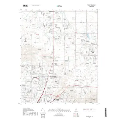
2020 Map of Meridianville
USGS Topo · Published 2020About this map
Alabama A and M University and Normal anchor the central portion of this North Alabama landscape, where the northern expansion of Huntsville meets established communities like Meridianville and Moores Mill. The topography is defined by significant elevations such as Wade Mtn and Chapman Mtn, separated by Certain Gap. A notable concentration of cemeteries, including the Early Settlers Cem, Robinson Cem, and Antioch Primitive Baptist Cem, provides a detailed record of the area's ancestral settlements and family lineages. This map also tracks the complex hydrology of the region, from the Brier Fork Flint River to the springs that once defined local geography, such as Blue Spring and Harris Spring. The presence of the Huntsville Executive Airport Tom Sharp Jr Field and several academic institutions like Drake State Technical and Community College illustrates the transition from rural Madison County roots to a regional educational and aviation hub.
Find a feature on this map
175 named features on this map. Tap any name to fly to it.
Don’t see what you’re looking for? This feature index may not catch every label — zoom into the map to look around manually.
Map Details
Editions of this 2020 Meridianville Map
This is the sole edition of this map. No revisions or reprints were ever made.
Other maps of this area

1888 · Scottsboro
USGS Topo · 1:125,000

1888 · Huntsville
USGS Topo · 1:125,000

1892 · Huntsville
USGS Topo · 1:125,000

1892 · Scottsboro
USGS Topo · 1:125,000

1936 · Jeff
USGS Topo · 1:24,000

1936 · Madison
USGS Topo · 1:24,000

1936 · Meridianville
USGS Topo · 1:24,000

1936 · Moontown
USGS Topo · 1:24,000

1936 · Fisk
USGS Topo · 1:24,000

1936 · Toney
USGS Topo · 1:24,000