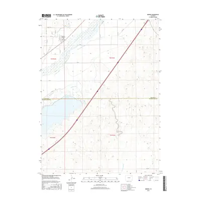
2016 Map of Merino
USGS Topo · Published 2016About this map
The South Platte River winds through this Logan County landscape, anchoring a complex network of agricultural irrigation channels that define the region's development. The town of Merino sits in the northwest, serving as a hub for the surrounding plains and their water-dependent economy. This system of man-made waterways includes the Pawnee Ditch, Davis Brothers Ditch, Company Ditch, and S Platte Ditch, illustrating the engineered transformation of the high plains for cultivation. Further south, the expansive Prewitt Reservoir straddles the border between Logan Co and Washington Co, providing a major water storage point. The map also traces the natural hydrology of Twentytwo Slough and the Sand Hill Ditch, while the straight lines of rural roads like Co RD 6 and Co RD 8 provide a grid-like framework for the homesteads and farms of this eastern Colorado community.
Find a feature on this map
29 named features on this map. Tap any name to fly to it.
Don’t see what you’re looking for? This feature index may not catch every label — zoom into the map to look around manually.
Map Details
Editions of this 2016 Merino Map
This is the sole edition of this map. No revisions or reprints were ever made.
Other maps of this area

1951 · Willard
USGS Topo · 1:24,000

1951 · Messex
USGS Topo · 1:24,000

1951 · Sterling South
USGS Topo · 1:24,000

1951 · Merino SW
USGS Topo · 1:24,000

1951 · Merino SE
USGS Topo · 1:24,000

1951 · Merino
USGS Topo · 1:24,000

1951 · Atwood
USGS Topo · 1:24,000

1954 · Sterling
USGS Topo · 1:250,000

1958 · Sterling
USGS Topo · 1:250,000

1971 · Messex
USGS Topo · 1:24,000