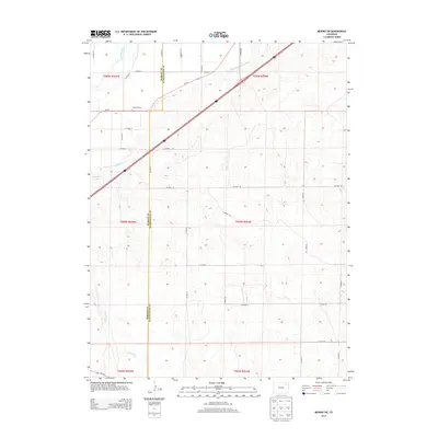
2013 Map of Merino SW
USGS Topo · Published 2013About this map
The S Platte River cuts across the northwest corner of this agricultural landscape, where the Morgan Co and Washington Co border runs vertically through the high plains. Water management defines the region, evidenced by the Lower Platte and Beaver Ditch winding through the terrain and the presence of Emmerson Lake. The commercial footprint of the local dairy industry is visible at Hillrose Dairy, while the dry streambed of Camp Creek reaches up from the south. A dense grid of rural routes, including CO Road 50 and Us-6 E, connects the isolated sections of this eastern Colorado ranching and farming country.
Find a feature on this map
32 named features on this map. Tap any name to fly to it.
Don’t see what you’re looking for? This feature index may not catch every label — zoom into the map to look around manually.
Map Details
Editions of this 2013 Merino SW Map
This is the sole edition of this map. No revisions or reprints were ever made.
Other maps of this area

1951 · Messex
USGS Topo · 1:24,000

1951 · Antelope Springs
USGS Topo · 1:24,000

1951 · Merino SW
USGS Topo · 1:24,000

1951 · Brush East
USGS Topo · 1:24,000

1951 · Merino SE
USGS Topo · 1:24,000

1951 · Merino
USGS Topo · 1:24,000

1954 · Sterling
USGS Topo · 1:250,000

1958 · Sterling
USGS Topo · 1:250,000

1965 · Miller Ranch
USGS Topo · 1:24,000

1971 · Brush East
USGS Topo · 1:24,000