Loading...
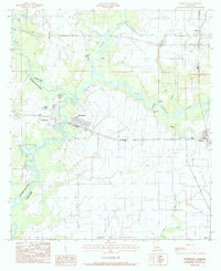
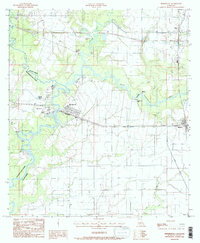
Loading map...1984 Map of Mermentau
USGS Topo · Published 1985About this map
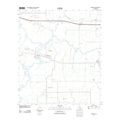
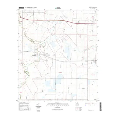
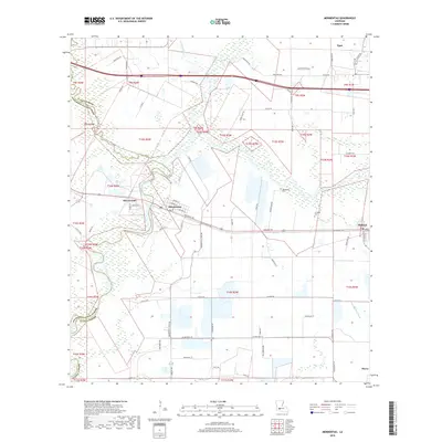
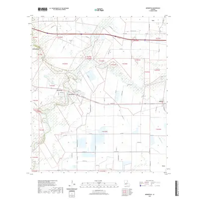
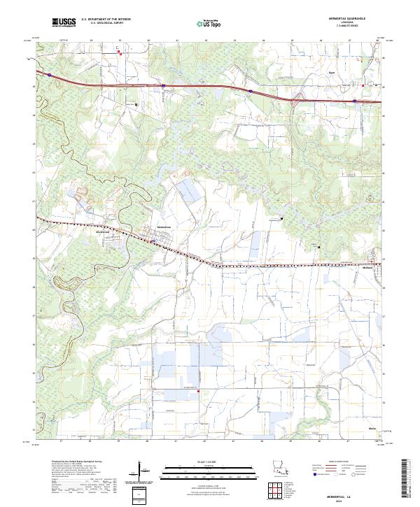
Mermentau River and its winding tributaries define this low-lying landscape along the boundary of Acadia Parish and Jefferson Davis Parish. In the early 1980s, the area shows a distinct transition from the water-oriented settlement of Mermentau to the rail-aligned community of Egan near the northern edge. The map documents a complex network of bayous, including Bayou Nezpique and Bayou Des Cannes, which historically served as the primary transit corridors for this region of Louisiana.
Find a feature on this map
17 named features on this map. Tap any name to fly to it.
Don’t see what you’re looking for? This feature index may not catch every label — zoom into the map to look around manually.
Map Details
Date Portrayed1984
Date Published1985
PublisherU.S. Geological Survey
Map TypeTopographic
Scale1:24,000
Physical Dimensions21.9 x 26.9 inches
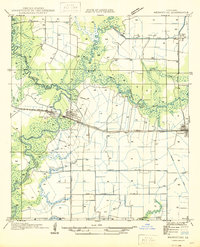
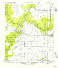
Editions of this 1984 Mermentau Map
2 editions found
Historical Maps of Jennings Through Time
8 maps found
Featured Locations
Source Details
SourceU.S. Geological Survey
CopyrightPublic Domain