2019 Map of Merom
USGS Topo · Published 2019About this map
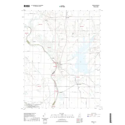
The Wabash River serves as the winding spine of this landscape, defining the state boundary between Indiana and Illinois. Along its eastern banks in Sullivan County, the town of Merom sits atop the river bluffs, while the community of Palestine occupies the western plains in Crawford County. The presence of Eagle Island and Merom Island within the river's path indicates a shifting waterway that has historically dictated land ownership and transport. Inland, the massive Turtle Creek Lake dominates the eastern section, a modern hydraulic feature that contrasts with the natural drainage of Minnow Slough and Sugar Cr. For genealogists, the map is a primary source for locating family burial grounds including Mann Turman Prairie Cem and the Old French Cem near Merom Station. The grid of rural roads connects established settlements like Graysville and Riverton, reflecting the long-standing agricultural pattern of the Wabash Valley.
Find a feature on this map
61 named features on this map. Tap any name to fly to it.
Don’t see what you’re looking for? This feature index may not catch every label — zoom into the map to look around manually.
Map Details
Editions of this 2019 Merom Map
This is the sole edition of this map. No revisions or reprints were ever made.
Other maps of this area

1917 · Birds
USGS Topo · 1:62,500

1942 · Fairbanks
USGS Topo · 1:24,000

1942 · Shelburn
USGS Topo · 1:24,000

1942 · Birds
USGS Topo · 1:62,500

1943 · Merom
USGS Topo · 1:24,000

1943 · Carlisle
USGS Topo · 1:24,000

1943 · Sullivan
USGS Topo · 1:24,000

1952 · Fairbanks
USGS Topo · 1:24,000

1952 · Shelburn
USGS Topo · 1:24,000

1953 · Indianapolis
USGS Topo · 1:250,000