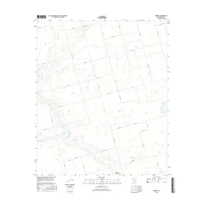
2016 Map of Merrick
USGS Topo · Published 2016About this map
Sulphur Springs Draw snakes through this high plains landscape of Martin County, defining the primary natural drainage for the small community of Merrick. This 2016 survey illustrates a region dominated by a systematic grid of ranch roads and farm-to-market routes, reflecting the agricultural and energy infrastructure of West Texas. Near the center of the sheet, the spring-fed waters of Sulphur Springs provide a rare riparian break in the dry terrain. The transportation network is anchored by several significant local arteries including Farm Rd 2002-E, E Fm 26, and N Fm 26, which facilitate movement across the expansive parcels of the Llano Estacado. The map provides a contemporary view of land use, showing how modern county roads like Co Rd 4600 and Co Rd A3900 have adapted to the traditional section-line divisions of the Texas Panhandle region.
Find a feature on this map
29 named features on this map. Tap any name to fly to it.
Don’t see what you’re looking for? This feature index may not catch every label — zoom into the map to look around manually.
Map Details
Editions of this 2016 Merrick Map
This is the sole edition of this map. No revisions or reprints were ever made.
Other maps of this area

1954 · Big Spring
USGS Topo · 1:250,000

1958 · Big Spring
USGS Topo · 1:250,000

1966 · Knott
USGS Topo · 1:24,000

1966 · Merrick
USGS Topo · 1:24,000

1966 · Lenorah West
USGS Topo · 1:24,000

1966 · Flower Grove
USGS Topo · 1:24,000

1966 · Knott SW
USGS Topo · 1:24,000
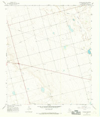
1966 · Lenorah East
USGS Topo · 1:24,000

1970 · Ackerly
USGS Topo · 1:24,000
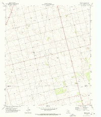
1970 · Tenmile
USGS Topo · 1:24,000