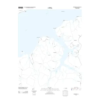
2013 Map of Merrimon
USGS Topo · Published 2013About this map
The coastal settlement of Merrimon and the surrounding maritime landscape of Carteret County are defined by a complex network of tidal creeks and peninsulas. This survey of the early 21st century highlights the dominance of the Neuse River as it meets the sound, with prominent landmarks such as Garbacon Shoal and Winthrop Point framing the shoreline. The interior is characterized by the broad expanse of Great Neck, an area deeply bisected by water bodies like Kellum Cr and Kearney Cr.
Find a feature on this map
80 named features on this map. Tap any name to fly to it.
Don’t see what you’re looking for? This feature index may not catch every label — zoom into the map to look around manually.
Map Details
Editions of this 2013 Merrimon Map
This is the sole edition of this map. No revisions or reprints were ever made.
Other maps of this area

1948 · Oriental
USGS Topo · 1:24,000

1949 · Merrimon
USGS Topo · 1:24,000

1949 · Newport
USGS Topo · 1:24,000

1949 · Williston
USGS Topo · 1:24,000

1949 · South River
USGS Topo · 1:24,000

1949 · Cherry Point
USGS Topo · 1:24,000

1949 · Core Creek
USGS Topo · 1:24,000

1950 · South River
USGS Topo · 1:24,000

1950 · Arapahoe
USGS Topo · 1:24,000

1951 · Williston
USGS Topo · 1:24,000