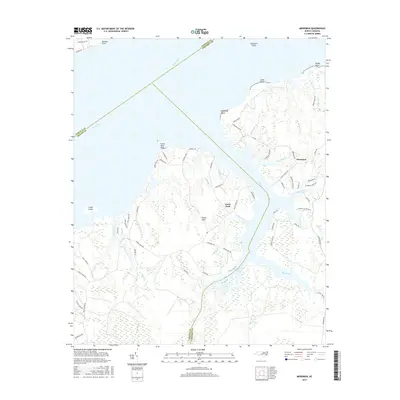
2016 Map of Merrimon
USGS Topo · Published 2016About this map
The low-lying coastal plains of Carteret County meet the wide expanse of the Neuse River in this detailed 2016 survey. The settlement of Merrimon serves as the primary hub for the area, situated near the headwaters of Jonaquin Creek and Dumpling Cr. A central feature of the landscape is the Intracoastal Waterway, which follows the deep channel of Adams Creek as it cuts through the peninsula, separating the mainland from Great Neck. The intricate network of tidal estuaries and marshlands includes Jerry Bay, Back Creek, and Kellum Creek, reflecting a geography defined by its proximity to the Pamlico Sound. Navigational points such as Garbacon Shoal and Winthrop Point line the northern shore, while local routes like Merrimon Rd and S River Rd connect the scattered residential pockets and maritime access points that characterize this stretch of the North Carolina coast.
Find a feature on this map
78 named features on this map. Tap any name to fly to it.
Don’t see what you’re looking for? This feature index may not catch every label — zoom into the map to look around manually.
Map Details
Editions of this 2016 Merrimon Map
This is the sole edition of this map. No revisions or reprints were ever made.
Other maps of this area

1948 · Oriental
USGS Topo · 1:24,000

1949 · Merrimon
USGS Topo · 1:24,000

1949 · Newport
USGS Topo · 1:24,000

1949 · Williston
USGS Topo · 1:24,000

1949 · South River
USGS Topo · 1:24,000

1949 · Cherry Point
USGS Topo · 1:24,000

1949 · Core Creek
USGS Topo · 1:24,000

1950 · South River
USGS Topo · 1:24,000

1950 · Arapahoe
USGS Topo · 1:24,000

1951 · Williston
USGS Topo · 1:24,000