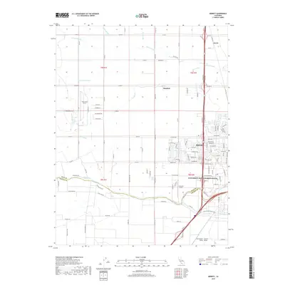
2018 Map of Merritt
USGS Topo · Published 2018About this map
Davis and the expansive campus of the University of California-Davis anchor the southeastern corner of this landscape, where the academic environment meets the intensive agriculture of the Sacramento Central Valley. The transition between the organized street grids of the city and the geometric section lines of the surrounding countryside is sharp, defined by a complex irrigation network including the Yolo Central Canal, Willow Canal, and the Moore Canal.
Find a feature on this map
115 named features on this map. Tap any name to fly to it.
Don’t see what you’re looking for? This feature index may not catch every label — zoom into the map to look around manually.
Map Details
Editions of this 2018 Merritt Map
This is the sole edition of this map. No revisions or reprints were ever made.
Other maps of this area

1907 · Woodland
USGS Topo · 1:62,500

1907 · Davisville
USGS Topo · 1:62,500

1908 · Vacaville
USGS Topo · 1:62,500

1908 · Courtland
USGS Topo · 1:62,500

1915 · Yolo
USGS Topo · 1:31,680

1915 · Swingle
USGS Topo · 1:31,680

1915 · Merritt
USGS Topo · 1:31,680

1916 · Dixon
USGS Topo · 1:31,680

1916 · Grays Bend
USGS Topo · 1:31,680

1916 · Jacobs Corner
USGS Topo · 1:31,680