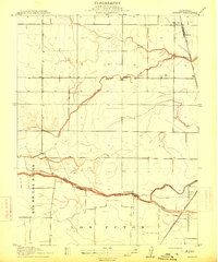
1915 Map of Merritt
USGS Topo · Published 1915About this map
Putah Creek defines the southern portion of this landscape, marking the historical divide along the Yolo Co Solano Co line. The terrain is characterized by a network of drainage features and early irrigation efforts, including the Capay Canal and the meandering paths of Willow Slough and Dry Slough. These waterways supported the agricultural expansion of the Sacramento Valley during the early twentieth century, as seen in the scattered settlements and rail sidings that served local growers.
Find a feature on this map
15 named features on this map. Tap any name to fly to it.
Don’t see what you’re looking for? This feature index may not catch every label — zoom into the map to look around manually.
Map Details
Editions of this 1915 Merritt Map
This is the sole edition of this map. No revisions or reprints were ever made.
Other maps of this area
1907 · Woodland
USGS Topo · 1:62,500
1907 · Davisville
USGS Topo · 1:62,500
1908 · Vacaville
USGS Topo · 1:62,500
1908 · Courtland
USGS Topo · 1:62,500
1915 · Yolo
USGS Topo · 1:31,680
1915 · Swingle
USGS Topo · 1:31,680
1916 · Dixon
USGS Topo · 1:31,680
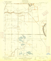
1916 · Grays Bend
USGS Topo · 1:31,680
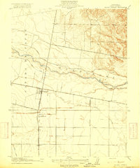
1916 · Jacobs Corner
USGS Topo · 1:31,680
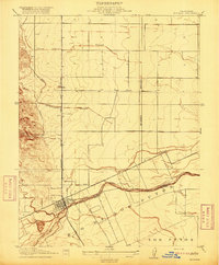
1916 · Winters
USGS Topo · 1:31,680