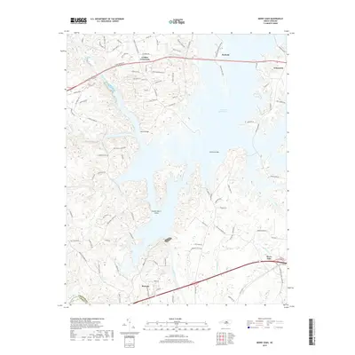
2019 Map of Merry Oaks
USGS Topo · Published 2019About this map
B Everett Jordan Lake dominates the central landscape of this Chatham County survey, illustrating the modern hydrologic character of the region. The expansive water body surrounds Gunter-Harris Island and is spanned by critical crossings such as Moores Bridge and Johnsons Bridge. These connections link the small settlements of Seaforth and Wilsonville in the north to the industrial and transit-oriented corridors of Moncure and Merry Oaks in the south.
Find a feature on this map
102 named features on this map. Tap any name to fly to it.
Don’t see what you’re looking for? This feature index may not catch every label — zoom into the map to look around manually.
Map Details
Editions of this 2019 Merry Oaks Map
This is the sole edition of this map. No revisions or reprints were ever made.
Other maps of this area

1943 · Durham South
USGS Topo · 1:62,500

1951 · Farrington
USGS Topo · 1:24,000

1951 · Durham South
USGS Topo · 1:62,500

1953 · Raleigh
USGS Topo · 1:250,000

1954 · Raleigh
USGS Topo · 1:250,000

1968 · Bynum
USGS Topo · 1:24,000

1969 · New Hope Dam
USGS Topo · 1:24,000

1970 · Pittsboro
USGS Topo · 1:24,000

1970 · Colon
USGS Topo · 1:24,000

1970 · Moncure
USGS Topo · 1:24,000