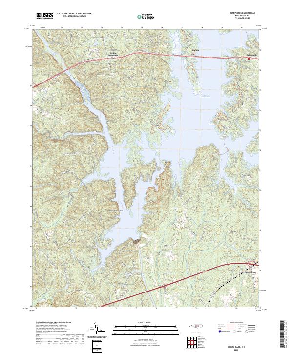
2022 Map of Merry Oaks
USGS Topo · Published 2022About this map
B Everett Jordan Lake dominates the central and eastern portions of this Chatham County landscape, where the rising waters have reshaped the historical confluence of the Haw River and the New Hope drainage system. Along the northern corridor, the ancient road junctions at Griffins Crossroads and Seaforth remain key navigational points, while Wilsonville sits at the northeastern edge of the reservoir's expansive reach. The terrain is marked by numerous small tributaries such as Stinking Cr, Kirks Creek, and Shaddox Cr, which carve into the Piedmont hills.
Find a feature on this map
114 named features on this map. Tap any name to fly to it.
Don’t see what you’re looking for? This feature index may not catch every label — zoom into the map to look around manually.
Map Details
Editions of this 2022 Merry Oaks Map
This is the sole edition of this map. No revisions or reprints were ever made.
Other maps of this area

1943 · Durham South
USGS Topo · 1:62,500

1951 · Farrington
USGS Topo · 1:24,000

1951 · Durham South
USGS Topo · 1:62,500

1953 · Raleigh
USGS Topo · 1:250,000

1954 · Raleigh
USGS Topo · 1:250,000

1968 · Bynum
USGS Topo · 1:24,000

1969 · New Hope Dam
USGS Topo · 1:24,000

1970 · Pittsboro
USGS Topo · 1:24,000

1970 · Colon
USGS Topo · 1:24,000

1970 · Moncure
USGS Topo · 1:24,000