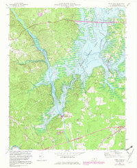
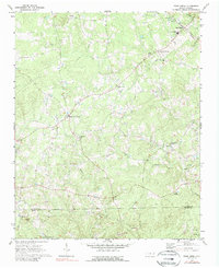
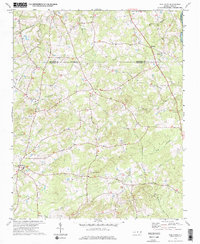
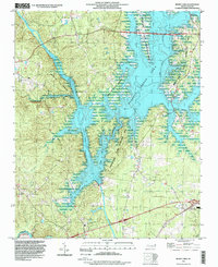
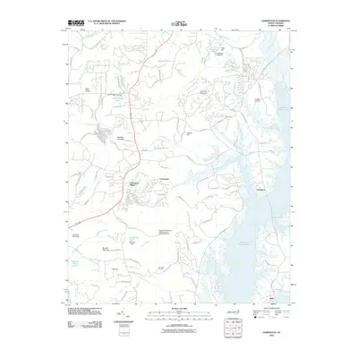
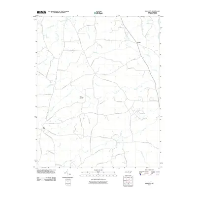
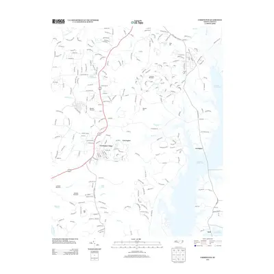
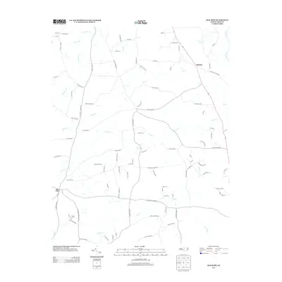
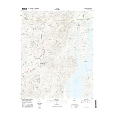
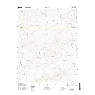
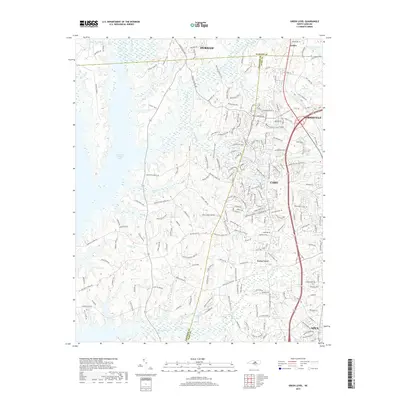
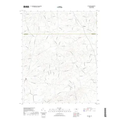
1969 Map of Merry Oaks
USGS Topo · Published 1982About this map
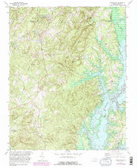
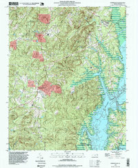
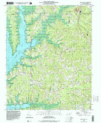
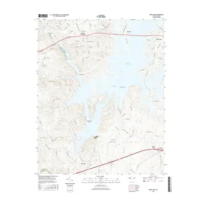
B Everett Jordan Lake dominates the eastern half of this landscape, its waters reaching deep into former creek valleys following the completion of the B Everett Jordan Dam. To the west, the Haw River flows toward its junction with the New Hope River, shaping the terrain around Gunter-Harris Island. This 1969 survey, revised with 1980 photogrammetric data, captures the region's transition as the reservoir changed the local geography. Human settlement is centered around Griffins Crossroads and Wilsonville, with the Seaboard Coast Line railroad cutting across the southern portion of the sheet. Community life is anchored by numerous rural congregations, including Pleasant Hill Ch, Hanks Chapel, and Providence Ch. The convergence of the Deep River and Haw River at the southern edge marks a significant hydrologic crossroads near Moncure Sch.
Find a feature on this map
29 named features on this map. Tap any name to fly to it.
Don’t see what you’re looking for? This feature index may not catch every label — zoom into the map to look around manually.
Map Details
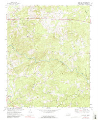
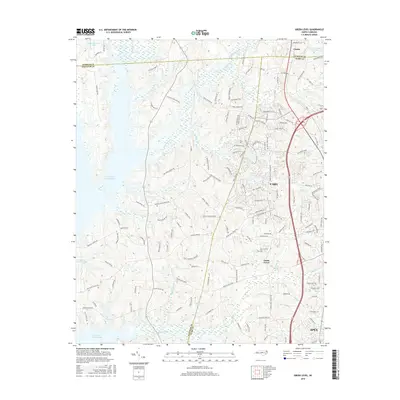
Editions of this 1969 Merry Oaks Map
2 editions found
Historical Maps of Seaforth Through Time
52 maps found
1951 Farrington
Chatham County, NC
1968 Bynum
Chatham County, NC
1969 Merry Oaks
Chatham County, NC
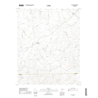
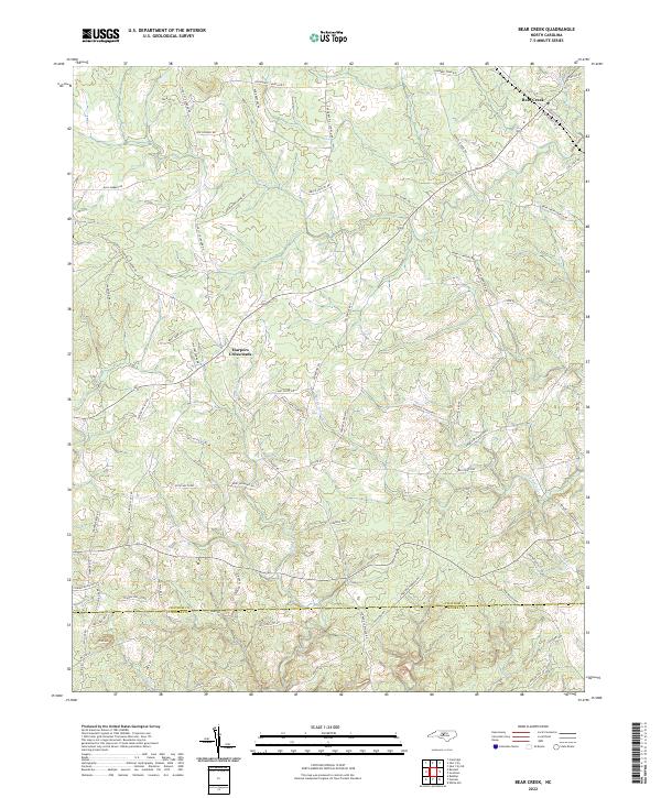
1970 Bear Creek
Chatham County, NC
1970 Siler City NE
Chatham County, NC
1973 Green Level
Chatham County, NC
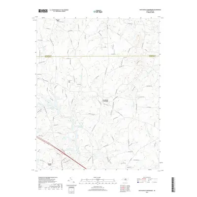
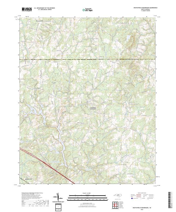
1974 Crutchfield Crossroads
Chatham County, NC
1974 Silk Hope
Chatham County, NC
1978 Farrington
Chatham County, NC
1993 Farrington
Chatham County, NC
1993 Green Level
Chatham County, NC
1993 Merry Oaks
Chatham County, NC
2010 Bear Creek
Chatham County, NC
2010 Bynum
Chatham County, NC
2010 Crutchfield Crossroads
Chatham County, NC
2010 Farrington
Chatham County, NC
2010 Green Level
Chatham County, NC
2010 Merry Oaks
Chatham County, NC
2010 Siler City NE
Chatham County, NC
2010 Silk Hope
Chatham County, NC
2013 Bear Creek
Chatham County, NC
2013 Bynum
Chatham County, NC
2013 Crutchfield Crossroads
Chatham County, NC
2013 Farrington
Chatham County, NC
2013 Green Level
Chatham County, NC
2013 Merry Oaks
Chatham County, NC
2013 Siler City NE
Chatham County, NC
2013 Silk Hope
Chatham County, NC
2016 Bear Creek
Chatham County, NC
2016 Bynum
Chatham County, NC
2016 Crutchfield Crossroads
Chatham County, NC
2016 Farrington
Chatham County, NC
2016 Green Level
Chatham County, NC
2016 Merry Oaks
Chatham County, NC
2016 Siler City NE
Chatham County, NC
2016 Silk Hope
Chatham County, NC
2019 Bear Creek
Chatham County, NC
2019 Bynum
Chatham County, NC
2019 Crutchfield Crossroads
Chatham County, NC
2019 Farrington
Chatham County, NC
2019 Green Level
Chatham County, NC
2019 Merry Oaks
Chatham County, NC
2019 Siler City NE
Chatham County, NC
2019 Silk Hope
Chatham County, NC
2022 Bear Creek
Chatham County, NC
2022 Bynum
Chatham County, NC
2022 Crutchfield Crossroads
Chatham County, NC
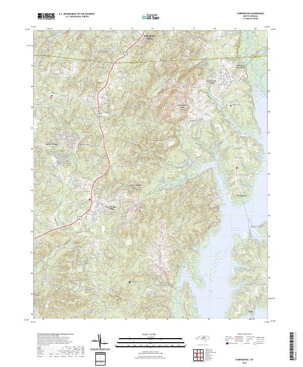
2022 Farrington
Chatham County, NC
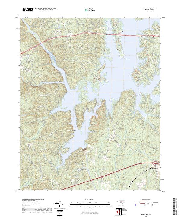
2022 Merry Oaks
Chatham County, NC
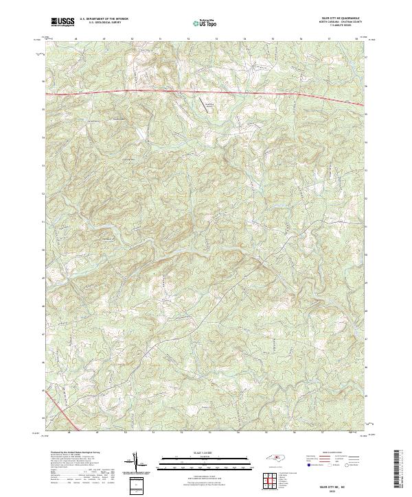
2022 Siler City NE
Chatham County, NC
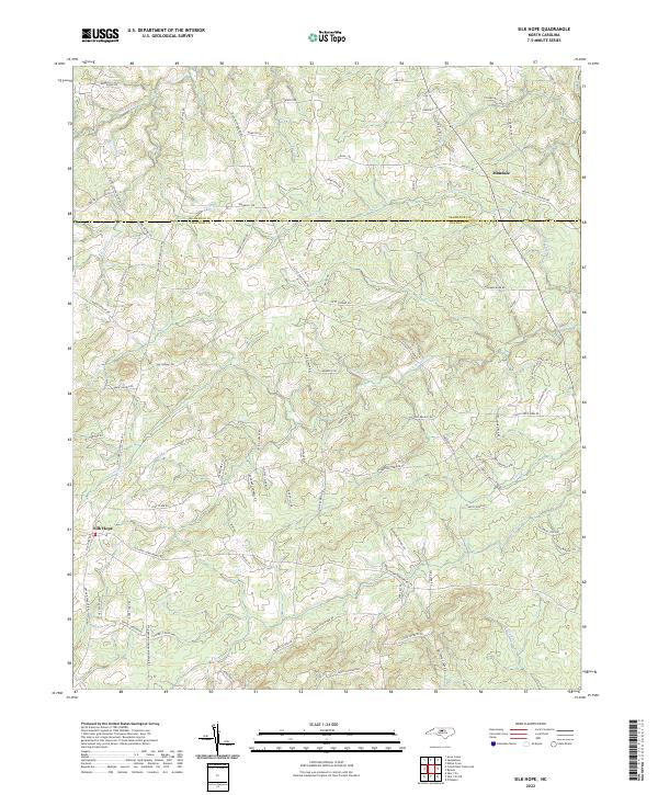
2022 Silk Hope
Chatham County, NC
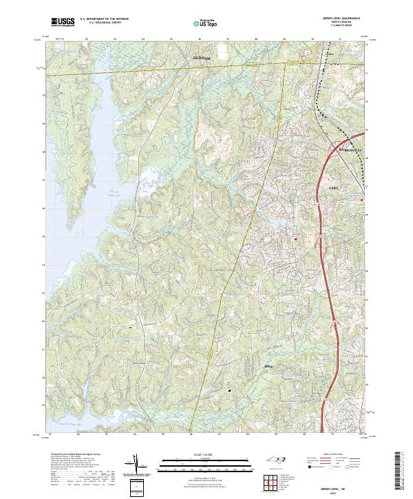
2023 Green Level
Chatham County, NC