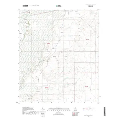
2020 Map of Merryville South
USGS Topo · Published 2020About this map
The Sabine River forms a winding natural border between Louisiana and Texas, creating a complex landscape of oxbow lakes and wetlands. To the east, the terrain of Beauregard Parish transitions from the river bottomlands into the piney woods and coastal plain. The small community of Bivens and the outskirts of Merryville anchor the region's human geography, connected by a network of rural roads that often bear family names.
Find a feature on this map
57 named features on this map. Tap any name to fly to it.
Don’t see what you’re looking for? This feature index may not catch every label — zoom into the map to look around manually.
Map Details
Editions of this 2020 Merryville South Map
This is the sole edition of this map. No revisions or reprints were ever made.
Other maps of this area

1935 · Wilson Lake
USGS Topo · 1:31,680

1946 · Merryville
USGS Topo · 1:31,680

1947 · Singer
USGS Topo · 1:31,680

1947 · Pujo
USGS Topo · 1:31,680

1947 · Oretta
USGS Topo · 1:31,680

1947 · Wilson Lake
USGS Topo · 1:31,680

1947 · Hyatt
USGS Topo · 1:31,680

1947 · Bivens
USGS Topo · 1:31,680

1949 · Bancroft
USGS Topo · 1:31,680

1952 · Lake Charles
USGS Topo · 1:250,000