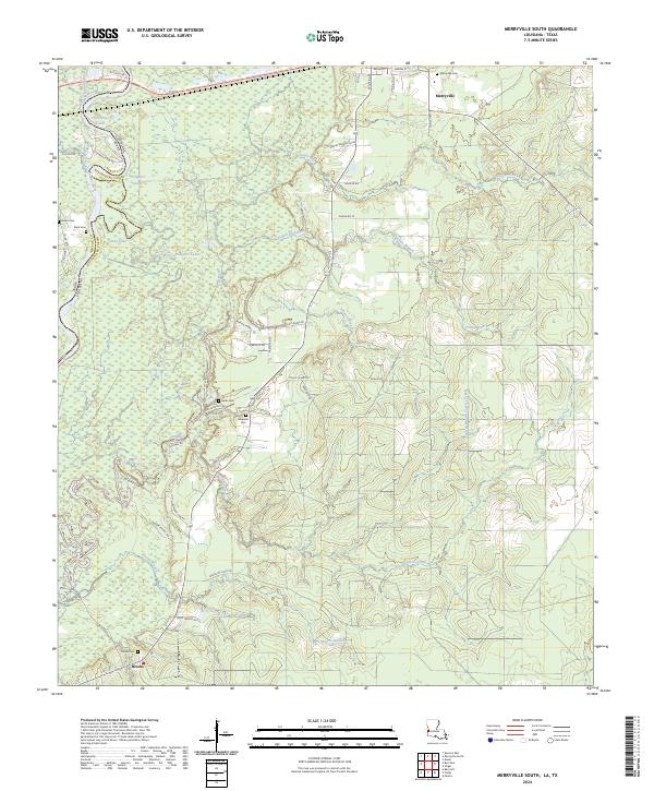
2024 Map of Merryville South
USGS Topo · Published 2024About this map
The Sabine River forms a winding natural boundary between Louisiana and Texas, creating a landscape of oxbow lakes and wetlands such as Alligator Lake and Horseshoe Lake. In Beauregard Parish, the rural settlement of Merryville serves as a northern anchor, while Bivens sits to the south near the Bivens Oil Field Rd. The terrain is defined by a dense network of drainage, including Hoosier Creek, Cypress Creek, and Pullen Branch, which feed into the primary river system. Local family names and history are preserved through several burial grounds, including Merryville Cem, Stark Cem, and Franks Cem. The presence of many parish and private roads suggests a landscape shaped by both timber interests and local oil production, with Old River Dam Rd and Digger Franks Rd providing access to the more remote river reaches and bottomlands.
Find a feature on this map
56 named features on this map. Tap any name to fly to it.
Don’t see what you’re looking for? This feature index may not catch every label — zoom into the map to look around manually.
Map Details
Editions of this 2024 Merryville South Map
This is the sole edition of this map. No revisions or reprints were ever made.
Other maps of this area

1935 · Wilson Lake
USGS Topo · 1:31,680

1946 · Merryville
USGS Topo · 1:31,680

1947 · Singer
USGS Topo · 1:31,680

1947 · Pujo
USGS Topo · 1:31,680

1947 · Oretta
USGS Topo · 1:31,680

1947 · Wilson Lake
USGS Topo · 1:31,680

1947 · Hyatt
USGS Topo · 1:31,680

1947 · Bivens
USGS Topo · 1:31,680

1949 · Bancroft
USGS Topo · 1:31,680

1952 · Lake Charles
USGS Topo · 1:250,000