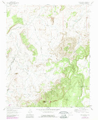
1961 Map of Mesa Cortada
USGS Topo · Published 1989About this map
The Cibola National Forest and the high plateaus of Ignacio Chavez define this New Mexico landscape during a period of ongoing land management and natural resource evaluation. This map captures a transition in the high desert where the rugged rim of Mesa Cortada overlooks a network of ephemeral drainage systems including Arroyo Chico and Arroyo Rincon Grande. Evidence of rural habitation and livestock heritage is present at the Rancho de la Punta (Site), Muddy Ranch, and Jaramillo Ranch, while the inclusion of an Oil Well near Mesa San Miguel points toward the industrial interests of the mid-twentieth century. Distinctive geological landmarks like Battleship, Cerro Chavez, and Cerro Colorado serve as permanent navigational anchors for researchers tracing old fence lines and cattle tanks such as Gonzolas Tank across the high-altitude terrain.
Find a feature on this map
33 named features on this map. Tap any name to fly to it.
Don’t see what you’re looking for? This feature index may not catch every label — zoom into the map to look around manually.
Map Details
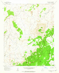
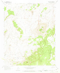
Editions of this 1961 Mesa Cortada Map
3 editions found
Other maps of this area

1883 · Mt. Taylor
USGS Topo · 1:250,000

1886 · Mt. Taylor
USGS Topo · 1:250,000

1892 · Mt. Taylor
USGS Topo · 1:250,000

1899 · Mt. Taylor
USGS Topo · 1:250,000

1958 · Albuquerque
USGS Topo · 1:250,000

1961 · El Dado
USGS Topo · 1:24,000

1961 · Cerro Parido
USGS Topo · 1:24,000

1961 · El Dado Mesa
USGS Topo · 1:24,000

1961 · Mesita Del Gavilan
USGS Topo · 1:24,000
1961 · Mesita Americana
USGS Topo · 1:24,000