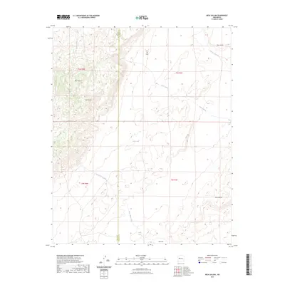
2023 Map of Mesa Gallina
USGS Topo · Published 2023About this map
Sierra Lucero and Mesa Gallina dominate the high-elevation landscape of this 2023 survey along the border of Valencia and Cibola counties. The geography is defined by prominent mesas and a complex network of ephemeral drainages that shape the high desert floor. Key landforms such as Mesa Carrizo, Cerro del Indio, and Mesa Aparejo rise above the surrounding terrain, providing natural landmarks in an area focused on ranching and seasonal water management.
Find a feature on this map
17 named features on this map. Tap any name to fly to it.
Don’t see what you’re looking for? This feature index may not catch every label — zoom into the map to look around manually.
Map Details
Editions of this 2023 Mesa Gallina Map
This is the sole edition of this map. No revisions or reprints were ever made.
Other maps of this area

1917 · Cerro Verde
USGS Topo · 1:125,000

1954 · South Garcia SE
USGS Topo · 1:24,000

1954 · Socorro
USGS Topo · 1:250,000

1956 · South Garcia
USGS Topo · 1:62,500

1956 · Mesa Aparejo
USGS Topo · 1:62,500

1958 · Socorro
USGS Topo · 1:250,000

1960 · Cerro Verde
USGS Topo · 1:24,000

1962 · Socorro
USGS Topo · 1:250,000
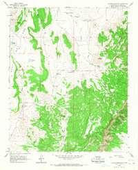
1964 · Chicken Mountain
USGS Topo · 1:24,000
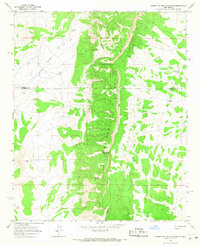
1964 · Puerto De Los Cavadores
USGS Topo · 1:24,000