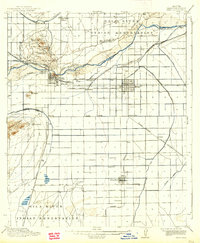
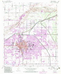
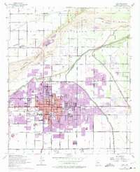
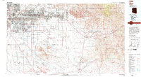
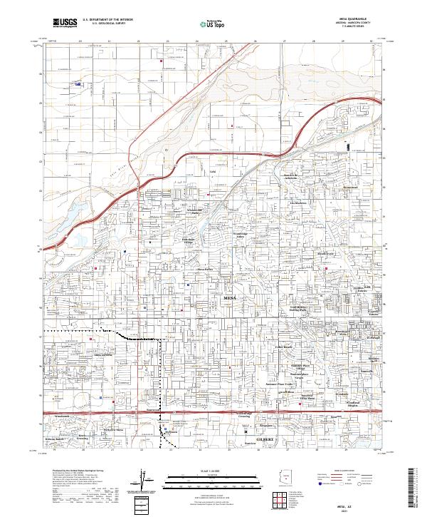
1954 Map of Mesa
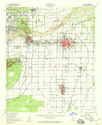
USGS Topo · Published 1971About this map
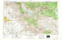
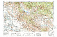
The Phoenix metropolitan area, including Tempe, Scottsdale, and Mesa, appears here in its mid-century expansion before the era of massive urban sprawl. Agricultural outposts and smaller settlements like Gilbert, Higley, and Rittenhouse dot the valley floor, while Williams A.F. Base serves as a major regional landmark. To the east, the landscape shifts abruptly into the high desert and mountains, dominated by the Superstition Mountains and the copper mining district surrounding Globe, Miami, and the Inspiration Mine.
Find a feature on this map
68 named features on this map. Tap any name to fly to it.
Don’t see what you’re looking for? This feature index may not catch every label — zoom into the map to look around manually.
Map Details
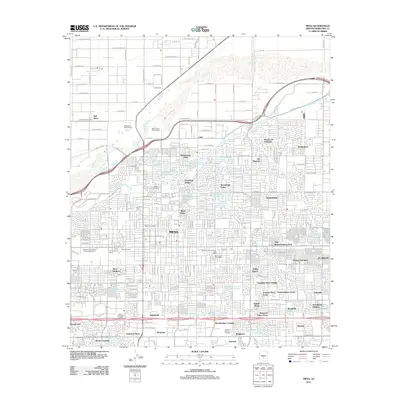
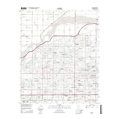
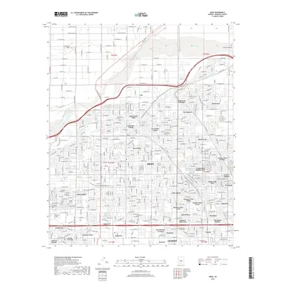
Editions of this 1954 Mesa Map
4 editions found

Historical Maps of Phoenix Through Time
16 maps found

1913 Mesa
Maricopa County, AZ
1915 Mesa
Maricopa County, AZ
1952 Mesa
Maricopa County, AZ
1952 Mesa
Maricopa County, AZ
1954 Mesa
Maricopa County, AZ

1957 Mesa
Maricopa County, AZ

1958 Mesa
Maricopa County, AZ

1960 Mesa
Maricopa County, AZ

1964 Mesa
Maricopa County, AZ
1971 Mesa
Maricopa County, AZ
1972 Mesa
Maricopa County, AZ
1994 Mesa
Maricopa County, AZ
2011 Mesa
Maricopa County, AZ
2014 Mesa
Maricopa County, AZ
2018 Mesa
Maricopa County, AZ
2021 Mesa
Maricopa County, AZ