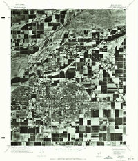
1971 Map of Mesa
USGS Topo · Published 1972About this map
Mesa appears as a dense grid of residential and commercial development during the early 1970s, bounded by the agricultural fields of Maricopa County. This orthophotomosaic, created from aerial photography, provides a stark visual record of the transition between the urbanized core and the surrounding geometric farmland. The northern edge of the map is defined by the Salt River, showing the braided nature of its channel against the desert landscape. The high-contrast imagery highlights the irrigation patterns and expanding neighborhood footprints that characterized this period of rapid Arizona growth. For researchers, the map serves as a clear spatial inventory of the city's street layout and the precise extent of the built environment just before further suburban expansion modified the outlying rural plots.
Find a feature on this map
2 named features on this map. Tap any name to fly to it.
Don’t see what you’re looking for? This feature index may not catch every label — zoom into the map to look around manually.
Map Details
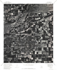
Editions of this 1971 Mesa Map
2 editions found
Other maps of this area

1904 · Camelback
USGS Topo · 1:62,500

1904 · Desert Well
USGS Topo · 1:62,500

1904 · Ft. McDowell
USGS Topo · 1:62,500

1906 · Camelsback
USGS Topo · 1:62,500

1906 · Ft. McDowell
USGS Topo · 1:62,500

1906 · Desert Well
USGS Topo · 1:62,500

1913 · Mesa
USGS Topo · 1:62,500

1915 · Mesa
USGS Topo · 1:62,500

1930 · Cave Creek
USGS Topo · 1:125,000

1939 · Cave Creek
USGS Topo · 1:125,000