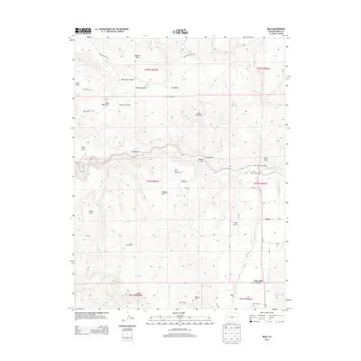
2013 Map of Mesa
USGS Topo · Published 2013About this map
Plateau Cr winds through the heart of this Western Slope landscape, defining the agricultural and ranching corridor of the Plateau Valley. This 2013 survey provides a detailed view of the long-standing land-use patterns in Mesa County, where family-named sites such as Eddington Homestead, Harris Homestead, and Ray Ball Homestead indicate the legacy of early regional settlement. The terrain transitions from the high elevations of Black Mountain and Chalk Mountain down to the level grounds of Silvey Flats and Cobert Flats.
Find a feature on this map
47 named features on this map. Tap any name to fly to it.
Don’t see what you’re looking for? This feature index may not catch every label — zoom into the map to look around manually.
Map Details
Editions of this 2013 Mesa Map
This is the sole edition of this map. No revisions or reprints were ever made.
Other maps of this area

1929 · Grand Valley
USGS Topo · 1:62,500

1929 · Roan Creek
USGS Topo · 1:62,500

1955 · Cameo
USGS Topo · 1:24,000

1955 · Mesa
USGS Topo · 1:24,000

1955 · Molina
USGS Topo · 1:24,000

1955 · Skyway
USGS Topo · 1:24,000

1956 · Grand Junction
USGS Topo · 1:250,000

1959 · Grand Junction
USGS Topo · 1:250,000

1960 · Grand Junction
USGS Topo · 1:250,000

1962 · Grand Junction
USGS Topo · 1:250,000