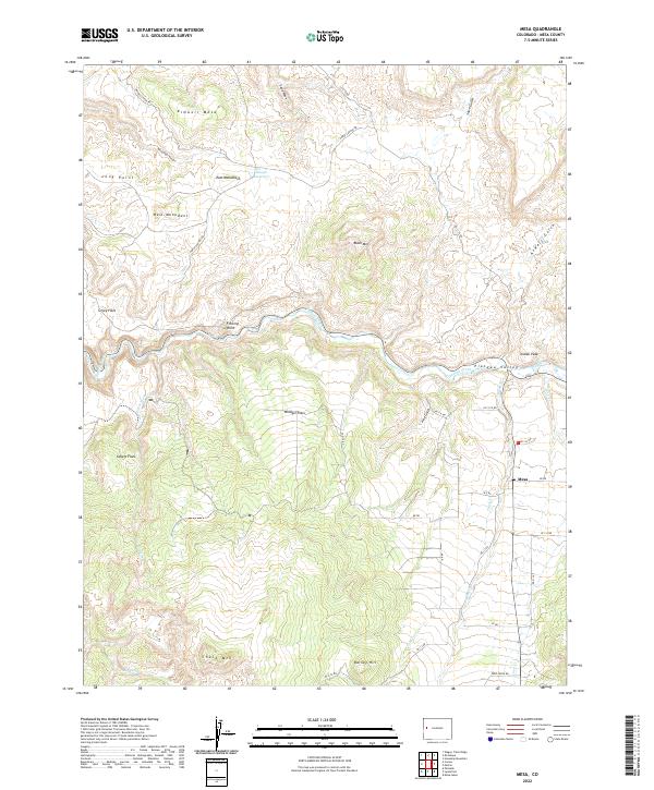
2022 Map of Mesa
USGS Topo · Published 2022About this map
Mesa serves as the primary settlement within the Plateau Valley, where the landscape is defined by the carved paths of Plateau Creek and its many tributaries, including Mesa Cr and Coon Cr. The terrain is characterized by a series of distinct high points and mesas, such as Kimbell Mesa and Black Mtn, separated by broad flatlands like Windger Flats and Silvey Flats. Local water management is evident at Baugh Reservoir, a key feature for the ranching and agricultural interests that have historically shaped this part of Mesa County. The road network, including Horse Canyon Rd and various numbered county roads, follows the natural contours of the gulches and ridges, connecting the valley floor to the prominent overlooks of Fleming Point and Indian Peak.
Find a feature on this map
45 named features on this map. Tap any name to fly to it.
Don’t see what you’re looking for? This feature index may not catch every label — zoom into the map to look around manually.
Map Details
Editions of this 2022 Mesa Map
This is the sole edition of this map. No revisions or reprints were ever made.
Other maps of this area

1929 · Grand Valley
USGS Topo · 1:62,500

1929 · Roan Creek
USGS Topo · 1:62,500

1955 · Cameo
USGS Topo · 1:24,000

1955 · Mesa
USGS Topo · 1:24,000

1955 · Molina
USGS Topo · 1:24,000

1955 · Skyway
USGS Topo · 1:24,000

1956 · Grand Junction
USGS Topo · 1:250,000

1959 · Grand Junction
USGS Topo · 1:250,000

1960 · Grand Junction
USGS Topo · 1:250,000

1962 · Grand Junction
USGS Topo · 1:250,000