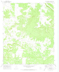
1971 Map of Mesa Redonda NW
USGS Topo · Published 1973About this map
Millet Swale and Hatch Draw define the drainage patterns across this high-desert landscape in Navajo County. This 1971 field-checked survey reveals a sparsely populated terrain where water management and ranching infrastructure were the primary marks of human activity. Functional features like the Corral and The Canal contrast with archaeological evidence marked simply as Ruins in the northern reaches of the quadrangle. Cattle-rearing and land-use history is documented through the presence of named water sources such as Guys Well and North Gate Well, which served as essential hubs in an arid environment. The map provides a clear record of the network of Jeep Trails and unimproved roads that connected these remote points, stretching from Concho Flat to the southern edge near Mexican Lake.
Find a feature on this map
17 named features on this map. Tap any name to fly to it.
Don’t see what you’re looking for? This feature index may not catch every label — zoom into the map to look around manually.
Map Details
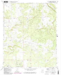
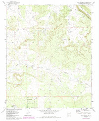
Editions of this 1971 Mesa Redonda NW Map
3 editions found
Other maps of this area

1886 · St Johns
USGS Topo · 1:250,000

1886 · Holbrook
USGS Topo · 1:250,000

1892 · St Johns
USGS Topo · 1:250,000

1893 · Holbrook
USGS Topo · 1:250,000

1954 · Holbrook
USGS Topo · 1:250,000

1954 · Saint Johns
USGS Topo · 1:250,000

1955 · Adamana 3 SE
USGS Topo · 1:24,000

1957 · Holbrook
USGS Topo · 1:250,000

1957 · Saint Johns
USGS Topo · 1:250,000

1958 · Saint Johns
USGS Topo · 1:250,000