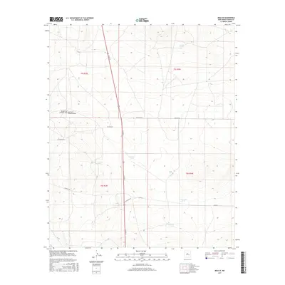
2017 Map of Mesa SE
USGS Topo · Published 2017About this map
Arid grazing lands and drainage networks define this section of Chaves County, where water management is the primary marker of human activity on the landscape. The geography is characterized by numerous artificial catchments such as Tank in the Flat, Lake Tank, and Buffalo Tank, which serve as vital water sources in an otherwise dry environment. These features are dispersed across a terrain carved by the Middle Fork Fivemile Draw and East Fork Fivemile Draw, indicating a natural drainage pattern that dictates the placement of infrastructure.
Find a feature on this map
18 named features on this map. Tap any name to fly to it.
Don’t see what you’re looking for? This feature index may not catch every label — zoom into the map to look around manually.
Map Details
Editions of this 2017 Mesa SE Map
This is the sole edition of this map. No revisions or reprints were ever made.
Other maps of this area

1955 · Roswell
USGS Topo · 1:250,000

1958 · Roswell
USGS Topo · 1:250,000

1962 · Roswell
USGS Topo · 1:250,000

1962 · Rock House Canyon
USGS Topo · 1:24,000

1962 · Marley Draw
USGS Topo · 1:24,000

1963 · Coyote Draw
USGS Topo · 1:24,000

1967 · Dunlap Sill
USGS Topo · 1:24,000

1967 · Swallow Nest Canyon
USGS Topo · 1:24,000
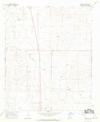
1967 · Mesa SE
USGS Topo · 1:24,000
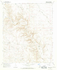
1967 · Mesa SW
USGS Topo · 1:24,000