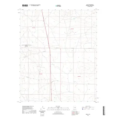
2020 Map of Mesa SE
USGS Topo · Published 2020About this map
N Main St cuts a straight north-south path through this arid portion of Chaves County, serving as the primary corridor for a landscape defined by ranching infrastructure and seasonal watercourses. The drainage of Fivemile Draw and its tributaries, including East Fork Fivemile Draw and Middle Fork Fivemile Draw, weave through the western portion of the quadrangle. For those studying the agricultural history of New Mexico, the map reveals a critical network of water storage features essential for livestock in this environment, such as Fivemile Tank, Lake Tank, and Tank in the Flat. A grid of rural roads like Donna Anna Rd and Chickweed Rd provides access to these remote reaches, where the land is strictly partitioned into townships including t5s r23e and t6s r24e.
Find a feature on this map
19 named features on this map. Tap any name to fly to it.
Don’t see what you’re looking for? This feature index may not catch every label — zoom into the map to look around manually.
Map Details
Editions of this 2020 Mesa SE Map
This is the sole edition of this map. No revisions or reprints were ever made.
Other maps of this area

1955 · Roswell
USGS Topo · 1:250,000

1958 · Roswell
USGS Topo · 1:250,000

1962 · Roswell
USGS Topo · 1:250,000

1962 · Rock House Canyon
USGS Topo · 1:24,000

1962 · Marley Draw
USGS Topo · 1:24,000

1963 · Coyote Draw
USGS Topo · 1:24,000

1967 · Dunlap Sill
USGS Topo · 1:24,000

1967 · Swallow Nest Canyon
USGS Topo · 1:24,000
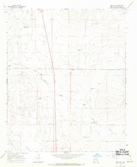
1967 · Mesa SE
USGS Topo · 1:24,000
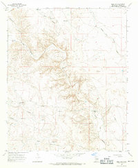
1967 · Mesa SW
USGS Topo · 1:24,000