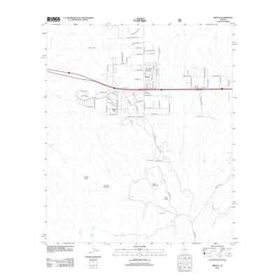
2012 Map of Mescal
USGS Topo · Published 2012About this map
Mescal serves as a central point of this high-desert landscape in Cochise County, where the transition from traditional ranching to modern transportation is clearly visible. The settlement of Pimaco Two and several family-named properties, including the Double X Ranch and B Smith Ranch, underscore the area's agricultural roots. These rural holdings are situated against a backdrop of prominent local summits such as Haystack Mountain and Easter Mountain, which rise above a network of dry washes like Cumaro Wash and Cadillac Wash.
Find a feature on this map
89 named features on this map. Tap any name to fly to it.
Don’t see what you’re looking for? This feature index may not catch every label — zoom into the map to look around manually.
Map Details
Editions of this 2012 Mescal Map
This is the sole edition of this map. No revisions or reprints were ever made.
Other maps of this area

1904 · Patagonia
USGS Topo · 1:125,000

1904 · Tucson
USGS Topo · 1:125,000

1905 · Patagonia
USGS Topo · 1:125,000

1905 · Tucson
USGS Topo · 1:125,000

1915 · Benson
USGS Topo · 1:125,000

1926 · Whetstone
USGS Topo · 1:62,500

1943 · Benson
USGS Topo · 1:125,000

1945 · Happy Valley
USGS Topo · 1:62,500

1956 · Nogales
USGS Topo · 1:250,000

1956 · Tucson
USGS Topo · 1:250,000