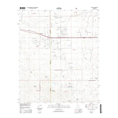
2014 Map of Mescal
USGS Topo · Published 2014About this map
Mescal and Pimaco Two sit at the northern edge of this landscape, positioned along a major transit corridor where modern roads follow the established paths of the Mescal Arroyo. The settlement patterns here show a transition from the structured residential roads of Mescal, such as W Meadowlark Ln and W Rice Rd, into the protected wilderness of the Coronado National Forest. To the south, the terrain rises sharply into the Whetstone Mountains, a land marked by prominent peaks like Haystack Mtn and Easter Mtn. This area is defined by its water sources, which were critical for ranching and survival in the arid environment. A network of springs and tanks, including Wakefield Spring, Nogales Spring, and Bill Williams Tank, are scattered through the canyons, providing a map for those tracing historical land use and early Arizona water rights.
Find a feature on this map
106 named features on this map. Tap any name to fly to it.
Don’t see what you’re looking for? This feature index may not catch every label — zoom into the map to look around manually.
Map Details
Editions of this 2014 Mescal Map
This is the sole edition of this map. No revisions or reprints were ever made.
Other maps of this area

1904 · Patagonia
USGS Topo · 1:125,000

1904 · Tucson
USGS Topo · 1:125,000

1905 · Patagonia
USGS Topo · 1:125,000

1905 · Tucson
USGS Topo · 1:125,000

1915 · Benson
USGS Topo · 1:125,000

1926 · Whetstone
USGS Topo · 1:62,500

1943 · Benson
USGS Topo · 1:125,000

1945 · Happy Valley
USGS Topo · 1:62,500

1956 · Nogales
USGS Topo · 1:250,000

1956 · Tucson
USGS Topo · 1:250,000