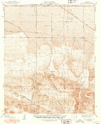
1940 Map of Mescal Creek
USGS Topo · Published 1940About this map
The San Andreas Rift Zone carves a distinct path through this section of the San Gabriel Mountains, creating a rugged geological boundary where the mountains meet the southern edge of the Antelope Valley. In this mid-century landscape, rural life centers on isolated family-named holdings such as Hagenbaugh Ranch and Soules Ranch. The terrain transitions from the high peaks of Pinyon Ridge down into deep incisions like Graham Canyon and Mescal Creek. A network of early desert thoroughfares, including the Pear Blossom Highway and the Llano Cutoff, connects the small settlement of Largo Vista to the broader region. The presence of Caldwell Lake and various springs near the rift zone highlights the critical role of water sources in this arid high-desert environment within the Angeles National Forest.
Find a feature on this map
26 named features on this map. Tap any name to fly to it.
Don’t see what you’re looking for? This feature index may not catch every label — zoom into the map to look around manually.
Map Details
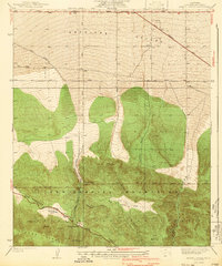
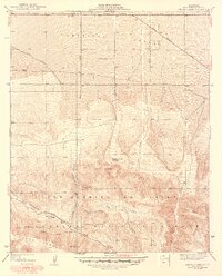
Editions of this 1940 Mescal Creek Map
3 editions found
Other maps of this area

1901 · Southern California Sheet No. 1
USGS Topo · 1:250,000

1903 · Rock Creek
USGS Topo · 1:62,500

1903 · San Antonio
USGS Topo · 1:62,500

1904 · Southern California Sheet No. 1
USGS Topo · 1:250,000

1930 · Black Butte
USGS Topo · 1:24,000

1930 · Llano
USGS Topo · 1:24,000

1930 · Angle
USGS Topo · 1:24,000

1932 · Angle
USGS Topo · 1:24,000

1933 · Black Butte
USGS Topo · 1:24,000

1934 · Mescal Creek
USGS Topo · 1:24,000