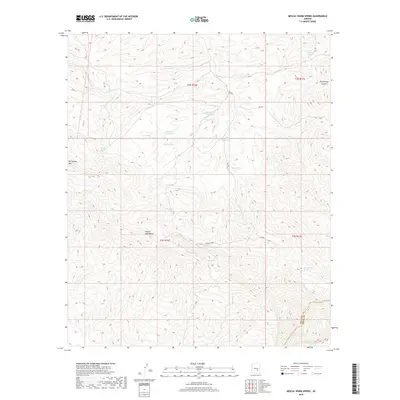
2018 Map of Mescal Warm Spring
USGS Topo · Published 2018About this map
The Mescal Mountains dominate this high-desert region on the border of Gila and Pinal counties, where a complex network of ephemeral drainages and springs defines the land use. Water management is central to the landscape, evidenced by numerous infrastructure features such as Rock Gate Detention, Bar F Bar Detention, and the Mescal Tank. These modern improvements support livestock and wildlife in a territory historically sustained by natural sources like Mescal Warm Spring, Big Rock Spring, and Red Whiskers Spring.
Find a feature on this map
29 named features on this map. Tap any name to fly to it.
Don’t see what you’re looking for? This feature index may not catch every label — zoom into the map to look around manually.
Map Details
Editions of this 2018 Mescal Warm Spring Map
This is the sole edition of this map. No revisions or reprints were ever made.
Other maps of this area

1901 · Globe
USGS Topo · 1:62,500

1902 · Globe
USGS Topo · 1:62,500

1910 · Ray
USGS Topo · 1:62,500

1915 · Christmas
USGS Topo · 1:62,500

1917 · Christmas
USGS Topo · 1:62,500

1954 · Mesa
USGS Topo · 1:250,000

1957 · Mesa
USGS Topo · 1:250,000

1958 · Mesa
USGS Topo · 1:250,000

1960 · Mesa
USGS Topo · 1:250,000

1964 · Mesa
USGS Topo · 1:250,000