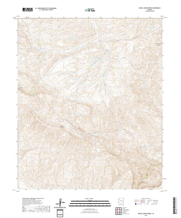
2021 Map of Mescal Warm Spring
USGS Topo · Published 2021About this map
The Mescal Mountains dominate this landscape along the border of Gila and Pinal counties, defining a region where water management is central to the land's utility. Significant elevation changes are marked by landmarks like El Capitan Mtn and the winding course of Ranch Cr, which feeds into a network of livestock and erosion control features including Bar-F-Bar Detention and Wob Tank. The arid terrain is punctuated by vital water sources such as Big Rock Spring, Wild Horse Spring, and the namesake Mescal-Warm Spring near the southern boundary.
Find a feature on this map
26 named features on this map. Tap any name to fly to it.
Don’t see what you’re looking for? This feature index may not catch every label — zoom into the map to look around manually.
Map Details
Editions of this 2021 Mescal Warm Spring Map
This is the sole edition of this map. No revisions or reprints were ever made.
Other maps of this area

1901 · Globe
USGS Topo · 1:62,500

1902 · Globe
USGS Topo · 1:62,500

1910 · Ray
USGS Topo · 1:62,500

1915 · Christmas
USGS Topo · 1:62,500

1917 · Christmas
USGS Topo · 1:62,500

1954 · Mesa
USGS Topo · 1:250,000

1957 · Mesa
USGS Topo · 1:250,000

1958 · Mesa
USGS Topo · 1:250,000

1960 · Mesa
USGS Topo · 1:250,000

1964 · Mesa
USGS Topo · 1:250,000