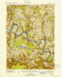
1945 Map of Meshoppen
USGS Topo · Published 1952About this map
The Susquehanna River carves a dramatic serpentine path through this 1945 survey of Wyoming and Bradford Counties, defining the region's transport and settlement patterns. The Lehigh Valley rail line follows the river's tight curves, passing through the Vosburg Tunnel and serving riverside towns like Laceyville and Mehoopany. The landscape is a network of ridges and hollows, where family-named landmarks such as Harris Corners and Chase Corners mark the upland crossroads of the rural interior.
Find a feature on this map
83 named features on this map. Tap any name to fly to it.
Don’t see what you’re looking for? This feature index may not catch every label — zoom into the map to look around manually.
Map Details
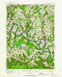
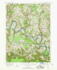
Editions of this 1945 Meshoppen Map
4 editions found

Other maps of this area

1891 · Harveys Lake
USGS Topo · 1:62,500

1893 · Harvey Lake
USGS Topo · 1:62,500

1893 · Pittston
USGS Topo · 1:62,500

1923 · Towanda
USGS Topo · 1:62,500

1926 · Towanda
USGS Topo · 1:62,500

1934 · Laporte
USGS Topo · 1:62,500

1943 · Scranton
USGS Topo · 1:125,000

1943 · Towanda
USGS Topo · 1:62,500

1943 · Monroeton
USGS Topo · 1:62,500

1943 · Montrose
USGS Topo · 1:62,500