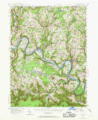
1945 Map of Meshoppen
USGS Topo · Published 1968About this map
The Susquehanna River carves a dramatic winding path through this portion of Wyoming and Bradford counties, creating deep oxbows like Quicks Bend and providing a corridor for the Lehigh Valley River railroad. Settlements such as Meshoppen and Laceyville anchor the riverbanks, while the interior is dotted with high-elevation landmarks like the Mehoopany Fire Tower on Mehoopany Mountain.
Find a feature on this map
104 named features on this map. Tap any name to fly to it.
Don’t see what you’re looking for? This feature index may not catch every label — zoom into the map to look around manually.
Map Details
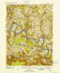
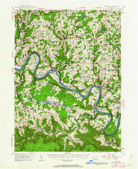
Editions of this 1945 Meshoppen Map
4 editions found

Other maps of this area

1891 · Harveys Lake
USGS Topo · 1:62,500

1893 · Harvey Lake
USGS Topo · 1:62,500

1893 · Pittston
USGS Topo · 1:62,500

1923 · Towanda
USGS Topo · 1:62,500

1926 · Towanda
USGS Topo · 1:62,500

1934 · Laporte
USGS Topo · 1:62,500

1943 · Scranton
USGS Topo · 1:125,000

1943 · Towanda
USGS Topo · 1:62,500

1943 · Monroeton
USGS Topo · 1:62,500

1943 · Montrose
USGS Topo · 1:62,500