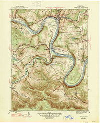
1947 Map of Meshoppen
USGS Topo · Published 1947About this map
The Susquehanna River carves a dramatic oxbow through the Wyoming County landscape, defining the character of this mid-century river valley. Along the Lehigh Valley transportation corridor, small settlements like North Mehoopany and Meshoppen are anchored by the local geography of Jayne Bend and the Neck. The terrain is marked by significant engineering and lookout points, including the Vosburg Tunnel and the Mehoopany Fire Tower atop the high ridges.
Find a feature on this map
45 named features on this map. Tap any name to fly to it.
Don’t see what you’re looking for? This feature index may not catch every label — zoom into the map to look around manually.
Map Details
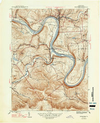
Editions of this 1947 Meshoppen Map
2 editions found
Other maps of this area

1891 · Harveys Lake
USGS Topo · 1:62,500

1893 · Harvey Lake
USGS Topo · 1:62,500

1893 · Pittston
USGS Topo · 1:62,500

1943 · Scranton
USGS Topo · 1:125,000

1945 · Meshoppen
USGS Topo · 1:62,500

1945 · Auburn Center
USGS Topo · 1:24,000

1945 · Jenningsville
USGS Topo · 1:24,000

1945 · Meshoppen
USGS Topo · 1:24,000

1945 · Laceyville
USGS Topo · 1:24,000

1946 · Tunkhannock
USGS Topo · 1:62,500
Featured Places
- Mehoopany Township, PA
- Meshoppen, PA
- Forkston Township, PA
- Eaton Township, PA
- Scottsville, Windham Township