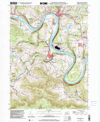
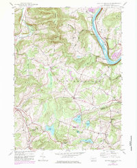
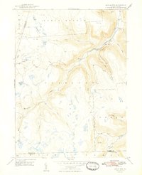
1999 Map of Meshoppen
USGS Topo · Published 2001This historical map portrays the area of Meshoppen in 1999, primarily covering Wyoming County. Featuring a scale of 1:24000, this map provides a highly detailed snapshot of the terrain, roads, buildings, counties, and historical landmarks in the Meshoppen region at the time. Published in 2001, it is the sole known edition of this map.
Find a feature on this map
41 named features on this map. Tap any name to fly to it.
Don’t see what you’re looking for? This feature index may not catch every label — zoom into the map to look around manually.
Map Details
Editions of this 1999 Meshoppen Map
This is the sole edition of this map. No revisions or reprints were ever made.
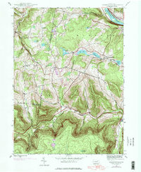
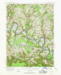
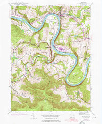
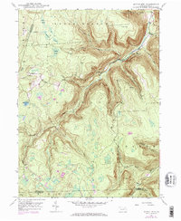
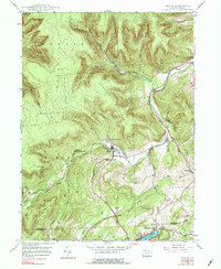
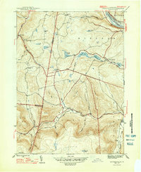
Historical Maps of Braintrim Township Through Time
13 maps found
1945 Jenningsville
Wyoming County, PA
1945 Meshoppen
Wyoming County, PA
1945 Meshoppen
Wyoming County, PA
1946 Center Moreland
Wyoming County, PA
1946 Dutch Mtn
Wyoming County, PA
1946 Noxen
Wyoming County, PA
1947 Jenningsville
Wyoming County, PA

1947 Meshoppen
Wyoming County, PA
1948 Dutch Mtn.
Wyoming County, PA
1949 Center Moreland
Wyoming County, PA
1949 Noxen
Wyoming County, PA
1997 Dutch Mtn
Wyoming County, PA
1999 Meshoppen
Wyoming County, PA
Featured Locations
- Mehoopany Township, PA
- Meshoppen, PA
- Eaton Township, PA
- Forkston Township, PA
- Scottsville, Windham Township