Loading...
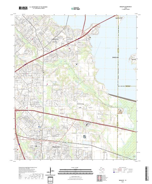
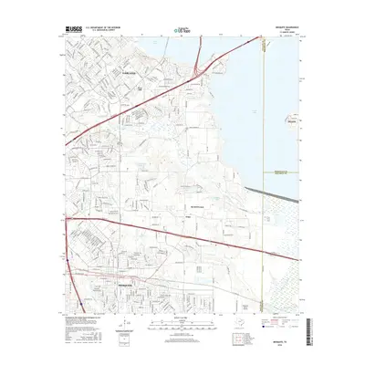
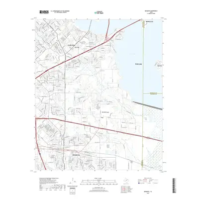
Loading map...2022 Map of Mesquite
USGS Topo · Published 2022About this map
Mesquite and its surrounding suburban landscape are defined here by a dense network of residential developments and vital transit corridors like US Hwy 80 and I-635 Svc Rd. The eastern portion of the map transitions into more open terrain near the E Fork Trinity River, where small communities like Tripp and Sunnyvale maintain their identity alongside several water bodies including Lupton Lake and Sampeck Lake.
Find a feature on this map
36 named features on this map. Tap any name to fly to it.
Don’t see what you’re looking for? This feature index may not catch every label — zoom into the map to look around manually.
Map Details
Date Portrayed2022
Date Published2022
PublisherU.S. Geological Survey
Map TypeTopographic
Scale1:24,000
Physical Dimensions24 x 29 inches
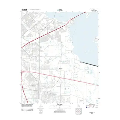
Editions of this 2022 Mesquite Map
This is the sole edition of this map. No revisions or reprints were ever made.
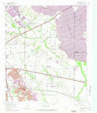
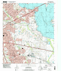
Historical Maps of Dallas Through Time
7 maps found

Featured Locations
Source Details
SourceU.S. Geological Survey
CopyrightPublic Domain