Loading...
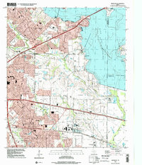
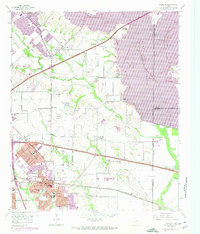
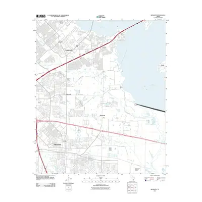
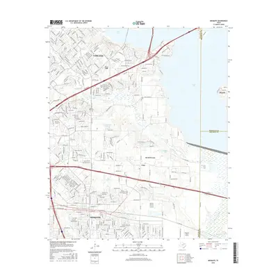
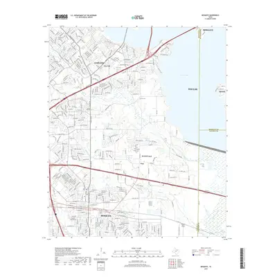
Loading map...1995 Map of Mesquite
USGS Topo · Published 2002About this map
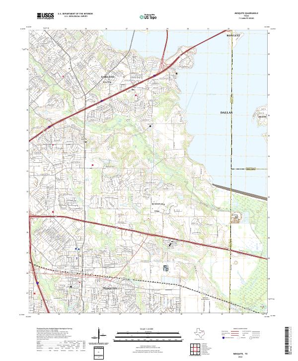
Mesquite and Garland dominate the western half of this suburban Texas landscape, showing the dense residential growth and infrastructure of the mid-1990s. The eastern portion of the sheet is defined by the massive reach of Lake Ray Hubbard, held back by the Rockwall Forney Dam along the East Fork Trinity River. This reservoir altered the local drainage, where Duck Creek and Long Creek now feed into the expanded shoreline.
Find a feature on this map
67 named features on this map. Tap any name to fly to it.
Don’t see what you’re looking for? This feature index may not catch every label — zoom into the map to look around manually.
Map Details
Date Portrayed1995
Date Published2002
PublisherU.S. Geological Survey
Map TypeTopographic
Scale1:24,000
Physical Dimensions23 x 26.9 inches
Editions of this 1995 Mesquite Map
This is the sole edition of this map. No revisions or reprints were ever made.
Historical Maps of Dallas Through Time
7 maps found

Featured Locations
Source Details
SourceU.S. Geological Survey
CopyrightPublic Domain