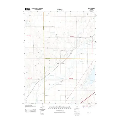
2013 Map of Messex
USGS Topo · Published 2013About this map
The S Platte River corridor dominates this Northeast Colorado landscape, where three counties—Logan, Morgan, and Washington—meet in a complex web of water management. The agricultural economy is clearly defined by an extensive network of irrigation infrastructure, including the Riverside Intake Canal, N Sterling Canal, and S Platte Ditch. These waterways support the small settlements of Beta, Messex, and Balzac, which are situated along the rail lines and regional roads. To the southeast, the shoreline of Prewitt Reservoir is visible, served by both the Prewitt Inlet Canal and Prewitt Outlet Canal. For local historians and genealogists, the map preserves the location of the Union School in the southwest and the Merino Cem near Beta, while industrial interests are represented by the Merino Oil Field at the center of the quadrangle.
Find a feature on this map
55 named features on this map. Tap any name to fly to it.
Don’t see what you’re looking for? This feature index may not catch every label — zoom into the map to look around manually.
Map Details
Editions of this 2013 Messex Map
This is the sole edition of this map. No revisions or reprints were ever made.
Other maps of this area

1951 · Willard
USGS Topo · 1:24,000

1951 · Messex
USGS Topo · 1:24,000

1951 · Antelope Springs
USGS Topo · 1:24,000

1951 · Merino SW
USGS Topo · 1:24,000

1951 · Brush East
USGS Topo · 1:24,000

1951 · Merino SE
USGS Topo · 1:24,000

1951 · Merino
USGS Topo · 1:24,000

1951 · Atwood
USGS Topo · 1:24,000

1954 · Sterling
USGS Topo · 1:250,000

1958 · Sterling
USGS Topo · 1:250,000