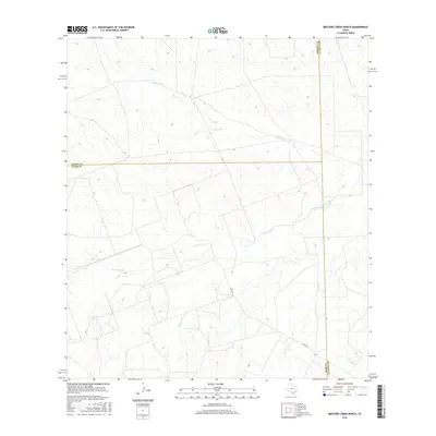
2016 Map of Mesteno Creek North
USGS Topo · Published 2016About this map
Mesteño Creek and Las Raices Cr carve through this section of the South Texas brush country, where the boundaries of Dimmit, Webb, and La Salle counties converge. The landscape is defined by its drainage network, including Pelon Ciz Cr in the north and the headwaters of Tecolate Cr in the southeast. This 2016 survey shows a territory primarily utilized for ranching and resource management, with Raices Rd providing the principal transit route through the arid terrain. The sparse naming of features reflects the open, undeveloped character of the borderlands between Webb and La Salle counties during this period.
Find a feature on this map
8 named features on this map. Tap any name to fly to it.
Don’t see what you’re looking for? This feature index may not catch every label — zoom into the map to look around manually.
Map Details
Editions of this 2016 Mesteno Creek North Map
This is the sole edition of this map. No revisions or reprints were ever made.
Other maps of this area

1927 · Bart
USGS Topo · 1:62,500

1929 · Cotulla
USGS Topo · 1:125,000

1932 · Valley Wells
USGS Topo · 1:62,500

1940 · Velenzuela Creek
USGS Topo · 1:62,500

1940 · Catarina
USGS Topo · 1:62,500

1940 · Artesia Wells
USGS Topo · 1:62,500

1953 · Crystal City
USGS Topo · 1:250,000

1955 · Crystal City
USGS Topo · 1:250,000

1957 · Encinal
USGS Topo · 1:62,500

1961 · Crystal City
USGS Topo · 1:250,000