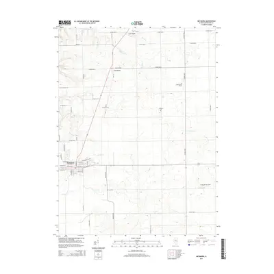
2015 Map of Metamora
USGS Topo · Published 2015About this map
The village of Metamora serves as the central hub of this Woodford County landscape, where the transition from organized street grids to an expansive rural network is clearly defined. Small agrarian communities such as Cazenovia and Low Point align along the north-south transit corridors, illustrating the long-standing settlement pattern of the Illinois prairie. This survey provides significant detail for genealogists, documenting the locations of Morristown Cem, Harmony Cem, and County Cem. The terrain is shaped by the subtle drainage of Richland Cr and Partridge Cr, which wind through the agricultural sections. In addition to traditional farming, the presence of private aviation sites like Schertz Farm Airport and Michael Pfister Airport indicates a modern layer of land use within this historically rural township.
Find a feature on this map
55 named features on this map. Tap any name to fly to it.
Don’t see what you’re looking for? This feature index may not catch every label — zoom into the map to look around manually.
Map Details
Editions of this 2015 Metamora Map
This is the sole edition of this map. No revisions or reprints were ever made.
Other maps of this area

1893 · Metamora
USGS Topo · 1:62,500

1927 · Danvers
USGS Topo · 1:62,500

1928 · Mackinaw
USGS Topo · 1:62,500

1930 · Danvers
USGS Topo · 1:62,500

1932 · Mackinaw
USGS Topo · 1:62,500

1937 · Metamora
USGS Topo · 1:62,500

1948 · Metamora
USGS Topo · 1:62,500

1955 · Minonk
USGS Topo · 1:62,500

1958 · Peoria
USGS Topo · 1:250,000

1961 · Peoria
USGS Topo · 1:250,000