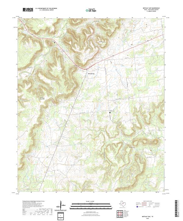
2022 Map of Metcalf Gap
USGS Topo · Published 2022About this map
Palo Pinto Mountains define this landscape west of Palo Pinto, where the terrain transitions through a series of prominent breaks and peaks. The map centers on the namesake Metcalf Gap, a natural pass providing passage through the uplift. This area remains largely defined by its network of rural roads such as Lower Brad Rd and Dodson Prairie Rd, which connect isolated sites like Brad Cem and Dodson Prairie Cem.
Find a feature on this map
26 named features on this map. Tap any name to fly to it.
Don’t see what you’re looking for? This feature index may not catch every label — zoom into the map to look around manually.
Map Details
Editions of this 2022 Metcalf Gap Map
This is the sole edition of this map. No revisions or reprints were ever made.
Other maps of this area

1890 · Breckenridge
USGS Topo · 1:125,000

1891 · Palo Pinto
USGS Topo · 1:125,000

1918 · Palo Pinto
USGS Topo · 1:125,000

1924 · Palo Pinto 2-c
USGS Topo · 1:48,000

1924 · Breckenridge 1-d
USGS Topo · 1:48,000

1927 · Pickwick
USGS Topo · 1:62,500

1931 · Ivan
USGS Topo · 1:62,500

1954 · Abilene
USGS Topo · 1:250,000

1958 · Abilene
USGS Topo · 1:250,000

1958 · Palo Pinto
USGS Topo · 1:62,500