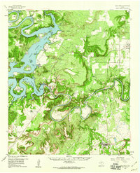
1958 Map of Palo Pinto
USGS Topo · Published 1960About this map
The Brazos River meanders in tight, dramatic oxbows through this North Texas landscape, defining the terrain as it flows into the newly formed Possum Kingdom Lake. This late 1950s survey documents the area shortly after the completion of the Morris Sheppard Dam, showing how the impounded waters reshaped the canyons and created new landmarks like Bloodweed Island and Costello Island. The map records a transition between traditional ranching and petroleum development, evidenced by the Floyd Dalton Oil Field and the Belding Ranch. Local heritage is preserved through family names attached to the landscape, from Mc Adams Cem and Lukingdom Ch to the scout camps at Camp Constantin and Worth Ranch. From the county seat at Palo Pinto to the town of Graford, the map captures the rural life and geography of the Palo Pinto Mountains.
Find a feature on this map
58 named features on this map. Tap any name to fly to it.
Don’t see what you’re looking for? This feature index may not catch every label — zoom into the map to look around manually.
Map Details
Editions of this 1958 Palo Pinto Map
2 editions found
Other maps of this area
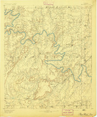
1890 · Breckenridge
USGS Topo · 1:125,000
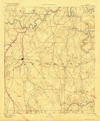
1891 · Palo Pinto
USGS Topo · 1:125,000

1918 · Palo Pinto
USGS Topo · 1:125,000
1924 · Breckenridge 1-a
USGS Topo · 1:48,000
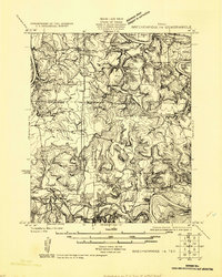
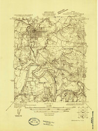
1924 · Palo Pinto 2-b
USGS Topo · 1:48,000
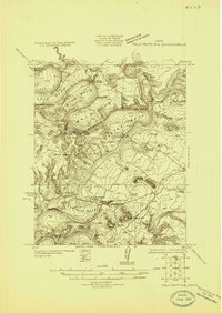
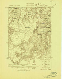
1924 · Palo Pinto 2-a
USGS Topo · 1:48,000
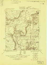
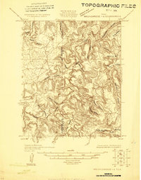
1924 · Palo Pinto 1-b
USGS Topo · 1:48,000
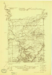
1924 · Graham 4-d
USGS Topo · 1:48,000
1924 · Palo Pinto 2-c
USGS Topo · 1:48,000
1924 · Breckenridge 1-d
USGS Topo · 1:48,000