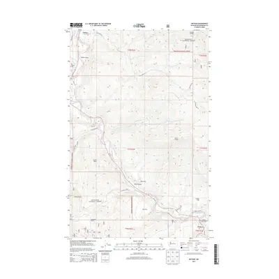
2014 Map of Methow
USGS Topo · Published 2014About this map
Carlton sits at the northern edge of this landscape, where the Methow River carves through the Methow Valley. Much of the territory is defined by the steep, rising slopes of the Okanogan National Forest, a terrain marked by deep drainages such as Leecher Canyon and Morse Canyon. The map reveals a transition from the narrow river corridor to high-elevation flats and basins, including Mills Flat and McCall Basin.
Find a feature on this map
36 named features on this map. Tap any name to fly to it.
Don’t see what you’re looking for? This feature index may not catch every label — zoom into the map to look around manually.
Map Details
Editions of this 2014 Methow Map
This is the sole edition of this map. No revisions or reprints were ever made.
Other maps of this area

1899 · Methow
USGS Topo · 1:125,000

1901 · Methow
USGS Topo · 1:125,000

1905 · Okanogan
USGS Topo · 1:125,000

1954 · Okanogan
USGS Topo · 1:250,000

1955 · Concrete
USGS Topo · 1:250,000

1956 · Loup Loup
USGS Topo · 1:62,500

1957 · Brewster
USGS Topo · 1:62,500

1958 · Concrete
USGS Topo · 1:250,000

1958 · Okanogan
USGS Topo · 1:250,000

1962 · Concrete
USGS Topo · 1:250,000