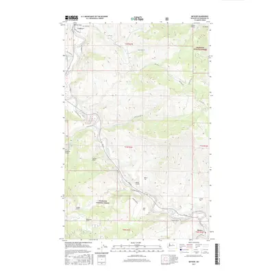
2017 Map of Methow
USGS Topo · Published 2017About this map
The Methow River carves a deep path through the Methow Valley in this Okanogan County landscape, providing a central lifeline for the small settlements of Carlton and Methow. These communities are connected by a network of winding roads like Twisp-Carlton Rd and Old Carlton Rd, which follow the river's course between steep canyon walls. The geography is defined by significant elevation changes, from the heights of Mt Leecher to the flat terraces of Morse Flat and Mills Flat. Large portions of the terrain are preserved within the Okanogan National Forest, where drainages such as McFarland Cr and Texas Cr flow through isolated areas like Vinegar Gulch and Mulhollan Gulch. This map illustrates the intersection of public forest lands with the valley's traditional transportation corridors, including the path of Stage Coach Rd and various county highways.
Find a feature on this map
45 named features on this map. Tap any name to fly to it.
Don’t see what you’re looking for? This feature index may not catch every label — zoom into the map to look around manually.
Map Details
Editions of this 2017 Methow Map
This is the sole edition of this map. No revisions or reprints were ever made.
Other maps of this area

1899 · Methow
USGS Topo · 1:125,000

1901 · Methow
USGS Topo · 1:125,000

1905 · Okanogan
USGS Topo · 1:125,000

1954 · Okanogan
USGS Topo · 1:250,000

1955 · Concrete
USGS Topo · 1:250,000

1956 · Loup Loup
USGS Topo · 1:62,500

1957 · Brewster
USGS Topo · 1:62,500

1958 · Concrete
USGS Topo · 1:250,000

1958 · Okanogan
USGS Topo · 1:250,000

1962 · Concrete
USGS Topo · 1:250,000