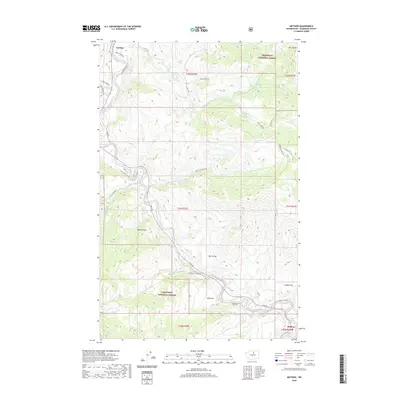
2020 Map of Methow
USGS Topo · Published 2020About this map
The Methow River corridor forms the central artery of this high-country landscape, where the settlements of Carlton and Methow serve as rural anchors within the Okanogan National Forest. This 2020 survey illustrates a region defined by its narrow valley flats and dramatic vertical relief, rising from the riverbanks to prominent heights like Mt Leecher and the high bowl of McCall Basin. The network of tributary waters, including Libby Cr, Gold Cr, and McFarland Cr, dictates the placement of historic mountain roads such as Ross Rd and Texas Creek Rd. These routes trace the easiest paths through the terrain, connecting elevated plateaus like Morse Flat and Mills Flat. The map documents the enduring geography of Okanogan County, where human habitation remains closely tied to the watercourses and natural clearings of the surrounding forest.
Find a feature on this map
42 named features on this map. Tap any name to fly to it.
Don’t see what you’re looking for? This feature index may not catch every label — zoom into the map to look around manually.
Map Details
Editions of this 2020 Methow Map
This is the sole edition of this map. No revisions or reprints were ever made.
Other maps of this area

1899 · Methow
USGS Topo · 1:125,000

1901 · Methow
USGS Topo · 1:125,000

1905 · Okanogan
USGS Topo · 1:125,000

1954 · Okanogan
USGS Topo · 1:250,000

1955 · Concrete
USGS Topo · 1:250,000

1956 · Loup Loup
USGS Topo · 1:62,500

1957 · Brewster
USGS Topo · 1:62,500

1958 · Concrete
USGS Topo · 1:250,000

1958 · Okanogan
USGS Topo · 1:250,000

1962 · Concrete
USGS Topo · 1:250,000