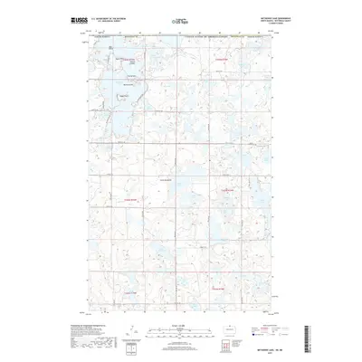
2017 Map of Metigoshe Lake
USGS Topo · Published 2017About this map
The Turtle Mountains dominate this landscape along the international border between United States and Canada. This glaciated plateau is defined by an intricate network of hundreds of small water bodies, most notably Metigoshe Lake, which straddles the boundary. The map captures the complex shoreline of this lake, highlighting prominent landmarks like Bear Island, Masonic Island, and Mackay Island. This area has long served as a recreational and seasonal hub, indicated by the dense network of local roads such as Solper Ln and N Lake Park Rd that wind around the various inlets.
Find a feature on this map
56 named features on this map. Tap any name to fly to it.
Don’t see what you’re looking for? This feature index may not catch every label — zoom into the map to look around manually.
Map Details
Editions of this 2017 Metigoshe Lake Map
This is the sole edition of this map. No revisions or reprints were ever made.
Other maps of this area

1935 · Dunseith
USGS Topo · 1:48,000

1939 · Dunseith
USGS Topo · 1:62,500

1954 · Minot
USGS Topo · 1:250,000

1955 · Lords Lake
USGS Topo · 1:24,000

1955 · Bottineau
USGS Topo · 1:24,000

1955 · Bottineau SE
USGS Topo · 1:24,000

1956 · Metigoshe Lake
USGS Topo · 1:24,000

1956 · Lake McArthur
USGS Topo · 1:24,000
1956 · Lords Lake
USGS Topo · 1:25,000

1958 · Minot
USGS Topo · 1:250,000