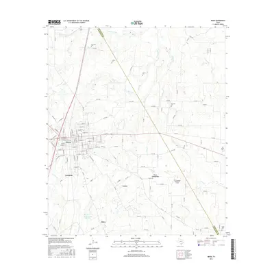
2016 Map of Mexia
USGS Topo · Published 2016About this map
The city of Mexia serves as the central hub of this Limestone County landscape, showing a dense street grid that transitions into the rural prairie of East Central Texas. To the south, the historical sites of Springfield and Shiloh sit near the waters of Plummers Creek and the Mexia Country Club Lake. The mapping reveals a high concentration of small, family-named burial grounds scattered across the countryside, including Valley Cemetery, Lindley Cemetery, and Spillers Cemetery, which offer valuable data points for genealogical research in the region.
Find a feature on this map
127 named features on this map. Tap any name to fly to it.
Don’t see what you’re looking for? This feature index may not catch every label — zoom into the map to look around manually.
Map Details
Editions of this 2016 Mexia Map
This is the sole edition of this map. No revisions or reprints were ever made.
Other maps of this area

1920 · Mexia
USGS Topo · 1:62,500

1954 · Waco
USGS Topo · 1:250,000

1955 · Waco
USGS Topo · 1:250,000

1957 · Groesbeck
USGS Topo · 1:62,500

1960 · Groesbeck
USGS Topo · 1:24,000

1960 · Tehuacana
USGS Topo · 1:24,000

1963 · Wortham
USGS Topo · 1:24,000

1963 · Teague North
USGS Topo · 1:24,000

1963 · Kirvin
USGS Topo · 1:24,000

1963 · Mexia
USGS Topo · 1:24,000