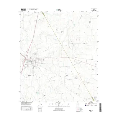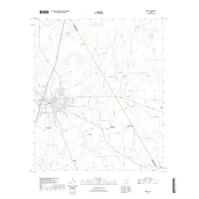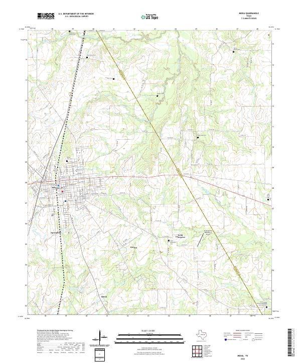
2022 Map of Mexia
USGS Topo · Published 2022About this map
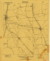
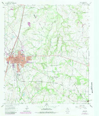
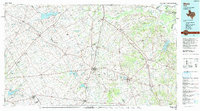
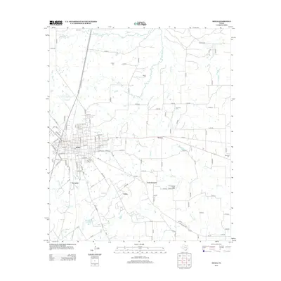
Mexia serves as the primary urban center for this section of the Texas interior, situated along the border of Limestone Co and Freestone Co. The landscape is a network of small agricultural settlements and family burial grounds, such as the Mexia City Cem and the Mexia Memorial Cem, which reflect the long-standing community roots in the area. Waterways like Tehuacana Creek and Plummers Cr wind through the terrain, supporting the rural economy that surrounds the outlying hamlets of Springfield, Holden, and Shiloh.
Find a feature on this map
140 named features on this map. Tap any name to fly to it.
Don’t see what you’re looking for? This feature index may not catch every label — zoom into the map to look around manually.
Map Details
Editions of this 2022 Mexia Map
This is the sole edition of this map. No revisions or reprints were ever made.
Historical Maps of Mexia Through Time
8 maps found