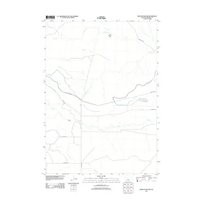
2012 Map of Mexican Pass SW
USGS Topo · Published 2012About this map
Burnaugh Cem sits as a lonely historical anchor in this arid Wyoming landscape, situated just north of the meandering Muddy Cr. The area’s geography is defined by a systematic grid of utility and access roads, including N Portal Rd and Sand Mesa Rd, which speak to the managed agricultural and energy infrastructure of Fremont County. Water management is a central theme of the terrain, evidenced by the Badger Wasteway and the Upper Reservoir near Muddy Creek Rd. To the north, the drainage of Cottonwood Cr and Red Springs Draw shapes the high desert floor. The presence of Wyoming Canal Rd highlights the vital role of irrigation and water transport in this high-plains environment, where development is dictated by the availability of water resources and the connective tissue of the local road network.
Find a feature on this map
14 named features on this map. Tap any name to fly to it.
Don’t see what you’re looking for? This feature index may not catch every label — zoom into the map to look around manually.
Map Details
Editions of this 2012 Mexican Pass SW Map
This is the sole edition of this map. No revisions or reprints were ever made.
Other maps of this area

1950 · Harris Bridge
USGS Topo · 1:24,000

1950 · Mexican Pass SW
USGS Topo · 1:24,000

1950 · Ocean Lake
USGS Topo · 1:24,000

1951 · Mexican Pass SE
USGS Topo · 1:24,000

1951 · Mexican Pass
USGS Topo · 1:24,000

1951 · Morrison Canyon
USGS Topo · 1:24,000

1951 · Jenkins Mountain
USGS Topo · 1:24,000

1952 · Riverton NE
USGS Topo · 1:24,000

1952 · Lost Wells Butte
USGS Topo · 1:24,000

1955 · Thermopolis
USGS Topo · 1:250,000