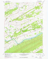
1959 Map of Mexico
USGS Topo · Published 1977About this map
Juniata River bends sharply through the heart of this central Pennsylvania valley, shadowed by the steep elevations of Tuscarora Mountain and Limestone Ridge. The river corridor serves as the primary artery for transportation, carrying both the William Penn Highway and the Penn Central railroad tracks past settlements like Mexico and Vandyke. This mid-century landscape is defined by its long, parallel ridges, including Walker Ridge and Lost Creek Ridge, which separate fertile agricultural pockets where small communities and local institutions are situated.
Find a feature on this map
50 named features on this map. Tap any name to fly to it.
Don’t see what you’re looking for? This feature index may not catch every label — zoom into the map to look around manually.
Map Details
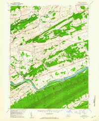
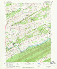
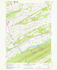
Editions of this 1959 Mexico Map
4 editions found
Other maps of this area

1907 · New Bloomfield
USGS Topo · 1:62,500

1907 · Millerstown
USGS Topo · 1:62,500

1925 · Mifflintown
USGS Topo · 1:48,000

1930 · Loysville
USGS Topo · 1:62,500

1933 · Loysville
USGS Topo · 1:62,500

1934 · Mifflintown
USGS Topo · 1:62,500

1937 · Mifflintown
USGS Topo · 1:62,500

1943 · Millerstown
USGS Topo · 1:62,500

1943 · New Bloomfield
USGS Topo · 1:62,500

1950 · Harrisburg
USGS Topo · 1:250,000
Featured Places
- Tuscarora, Turbett Township
- Tuscarora Township, PA
- Fayette Township, PA
- Turbett Township, PA
- Delaware Township, PA