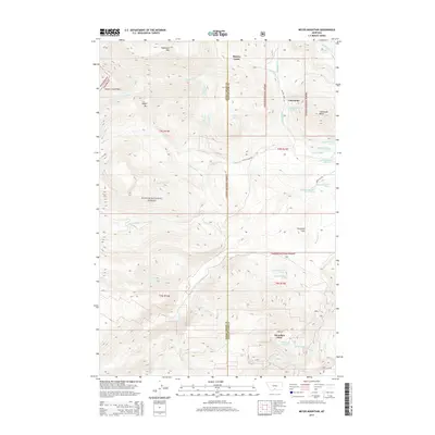
2014 Map of Meyer Mountain
USGS Topo · Published 2014About this map
Limestone and Mountain View sit within the high-elevation terrain where the Sweet Grass and Stillwater County line meets the vast tracts of the Custer National Forest. This 2014 survey captures a landscape defined by significant peaks like Meyer Mtn, Washburn Mtn, and the distinctive Limestone Butte. The area is a network of alpine water sources, including Mountain View Lake and the headwaters of Meyers Creek and Lodgepole Cr. Cattle ranching and back-country access are evident through features like the Picket Pin Rnch and trails leading through Meyers Creek Pass. The map also details numerous specific springs, such as Whittaker Spring and Quaker Spring, which have long served as vital water points in these high-country flats and creek bottoms.
Find a feature on this map
83 named features on this map. Tap any name to fly to it.
Don’t see what you’re looking for? This feature index may not catch every label — zoom into the map to look around manually.
Map Details
Editions of this 2014 Meyer Mountain Map
This is the sole edition of this map. No revisions or reprints were ever made.
Other maps of this area

1891 · Livingston
USGS Topo · 1:250,000

1891 · Big Timber
USGS Topo · 1:125,000

1893 · Livingston
USGS Topo · 1:250,000

1893 · Big Timber
USGS Topo · 1:125,000

1898 · Granite Mountain District
USGS Topo · 1:125,000

1932 · Nye No 2
USGS Topo · 1:48,000

1939 · Mt Wood
USGS Topo · 1:62,500

1941 · Mt. Wood
USGS Topo · 1:62,500

1941 · Mt Douglas
USGS Topo · 1:62,500

1943 · Mt Douglas
USGS Topo · 1:62,500