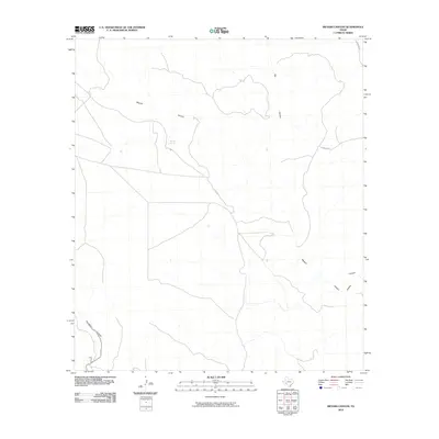
2010 Map of Meyers Canyon
USGS Topo · Published 2010About this map
Meyers Spring serves as a critical water source in this arid stretch of Terrell County, anchoring a landscape defined by deep drainage systems. The map detail highlights the intricate network of the Pecos River basin's tributaries, where Meyers Canyon and Big Canyon carve significant paths through the terrain. Evidence of ranching and land management is visible through the positioning of Altgelt and rural routes like Lemons Rd, which provide access to this isolated part of the Trans-Pecos. The confluence of features such as Outlaw Canyon and Thurston Canyon illustrates the complex topography that historically influenced movement and settlement patterns in Southwest Texas.
Find a feature on this map
8 named features on this map. Tap any name to fly to it.
Don’t see what you’re looking for? This feature index may not catch every label — zoom into the map to look around manually.
Map Details
Editions of this 2010 Meyers Canyon Map
This is the sole edition of this map. No revisions or reprints were ever made.
Other maps of this area

1918 · Dryden Crossing
USGS Topo · 1:62,500

1928 · Sanderson
USGS Topo · 1:125,000

1943 · Malvado
USGS Topo · 1:62,500

1944 · Malvado
USGS Topo · 1:62,500

1954 · Fort Stockton
USGS Topo · 1:250,000

1954 · Sonora
USGS Topo · 1:250,000

1958 · Sonora
USGS Topo · 1:250,000

1958 · Fort Stockton
USGS Topo · 1:250,000

1958 · Del Rio
USGS Topo · 1:250,000

1959 · Emory Peak
USGS Topo · 1:250,000